Kefang geodata
Kefang (Fujian) is a seat of a fourth-order administrative division; located in China in Asia/Shanghai (GMT+8) time zone. In our database, there are 1268 cities with bigger population. Compared to other cities in China, 79.7% of cities are located further ↑North; 63.6% of cities are located further ←West and 71.6% of cities have lower elevation than Kefang. Note1


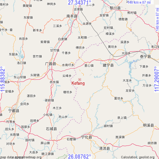
Kefang GPS coordinates[2]
26° 43' 2.64" North, 116° 35' 12.984" East
| Map corner | latitude | longitude |
|---|---|---|
| Upper-left | 27.34371°, | 115.88382° |
| Center: | 26.7174°, | 116.58694° |
| Lower-right: | 26.08762°, | 117.29007° |
| Map W x H: | 139.7×139.7 km | = 86.8×86.8mi |
| max Lat: | 53.31946° ⇑79.7% North |
| Kefang: | 26.7174° |
| min Lat: | ⇓20.3% South 18.22056° |
| min Long | Kefang | max Long |
| 75.07348° | 116.58694° | 134.28917° |
| W 63.6%⇐ | ⇒36.4% E |
Elevation
Elevation of Kefang is 441 m = 1447 ft, and this is 43.8 m = 144 ft below average elevation for this country.
| Max E: |
5622 m = 18445 ft | 28.4% |
| Avg. | 484.8 m = 1591 ft | |
| Kefang | 441 m = 1447 ft | |
Min E: |
-3 m = -10 ft | 71.6% |
See also: China elevation on elevation.city.
Geographical zone
Kefang is located in North temperate zone (between Tropic of Cancer and the Arctic Circle). Distance of this Northern Tropic circle is 364.8 km =226.7 mi to South.| Distance of | km | miles | from Kefang |
|---|---|---|---|
| North Pole | 7036.4 | 4372.2 | to North |
| Arctic Circle | 4430.5 | 2753 | to North |
| Tropic Cancer | 364.8 | 226.7 | to South |
| Equator | 2970.7 | 1845.9 | to South |


Nearby cities:
15 places around Kefang: (largest is in red/bold)
• Anyuan
17.9 km =11.1 mi,  150°
150°
• Changqiao
21.6 km =13.4 mi,  305°
305°
• Chishui
22.3 km =13.9 mi,  265°
265°
• Dushang
16.9 km =10.5 mi,  100°
100°
• Fufang
28.4 km =17.6 mi,  1°
1°
• Huangbu
7.1 km =4.4 mi,  67°
67°
• Jianfeng
11.6 km =7.2 mi,  288°
288°
• Junkou
21.7 km =13.5 mi,  107°
107°
• Lixin
15.1 km =9.4 mi,  33°
33°
• Qianshan
26.5 km =16.5 mi,  333°
333°
• Shuinanxu
16.5 km =10.3 mi,  322°
322°
• Suicheng
28.1 km =17.5 mi,  61°
61°
• Tangfang
14.8 km =9.2 mi,  224°
224°
• Xikou
28.2 km =17.5 mi, 59°
• Yangxi
22 km =13.7 mi,  241°
241°
Sources, notices
• [Note1] Compared only with cities in China existing in our database
• [Src1] Map data: © OpenStreetMap contributors (CC-BY-SA)
• [Src2] Other city data from geonames.org with taken over terms of usage.
• [Src3] Geographical zone / Annual Mean Temperature by Robert A. Rohde @ Wikipedia
