Jiufang geodata
Jiufang (Shaanxi) is a seat of a fourth-order administrative division; located in China in Asia/Shanghai (GMT+8) time zone. In our database, there are 1268 cities with bigger population. Compared to other cities in China, 74.3% of cities are located further ↓South; 82.5% of cities are located further →East and 89.2% of cities have lower elevation than Jiufang. Note1


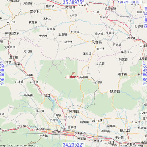
Jiufang GPS coordinates[2]
34° 48' 52.236" North, 107° 23' 33.864" East
| Map corner | latitude | longitude |
|---|---|---|
| Upper-left | 35.38975°, | 106.68962° |
| Center: | 34.81451°, | 107.39274° |
| Lower-right: | 34.23522°, | 108.09587° |
| Map W x H: | 128.4×128.4 km | = 79.8×79.8mi |
| max Lat: | 53.31946° ⇑25.7% North |
| Jiufang: | 34.81451° |
| min Lat: | ⇓74.3% South 18.22056° |
| min Long | Jiufang | max Long |
| 75.07348° | 107.39274° | 134.28917° |
| W 17.5%⇐ | ⇒82.5% E |
Elevation
Elevation of Jiufang is 1294 m = 4245 ft, and this is 809.2 m = 2655 ft above average elevation for this country.
| Max E: |
5622 m = 18445 ft | 10.8% |
| Jiufang | 1294 m 4245 ft | |
| Avg. | 484.8 m = 1591 ft | |
Min E: |
-3 m = -10 ft | 89.2% |
See also: China elevation on elevation.city.
Geographical zone
Jiufang is located in North temperate zone (between Tropic of Cancer and the Arctic Circle). Distance of this Northern Tropic circle is 1265.1 km =786.1 mi to South.| Distance of | km | miles | from Jiufang |
|---|---|---|---|
| North Pole | 6136.1 | 3812.8 | to North |
| Arctic Circle | 3530.2 | 2193.6 | to North |
| Tropic Cancer | 1265.1 | 786.1 | to South |
| Equator | 3871 | 2405.3 | to South |


Nearby cities:
15 places around Jiufang: (largest is in red/bold)
• Cuijiatou
24.7 km =15.3 mi,  216°
216°
• Dongjiahe
25.6 km =15.9 mi,  186°
186°
• Fanjiazhai
24 km =14.9 mi,  178°
178°
• Gaoya
11.6 km =7.2 mi,  321°
321°
• Hanfeng
23.4 km =14.5 mi,  201°
201°
• Liangting
9.3 km =5.8 mi,  107°
107°
• Nanzhai
26.6 km =16.5 mi,  228°
228°
• Puwo
21.3 km =13.2 mi,  33°
33°
• Shajia’ao
21.7 km =13.5 mi, 223°
• Tiantang
18.6 km =11.6 mi,  51°
51°
• Wenjiapo
27.2 km =16.9 mi,  240°
240°
• Yaojiagou
30 km =18.6 mi,  156°
156°
• Zhangba
25 km =15.5 mi,  68°
68°
• Zhangjiayuan
29.5 km =18.3 mi, 244°
• Zhaoxian
22.3 km =13.9 mi, 108°
Sources, notices
• [Note1] Compared only with cities in China existing in our database
• [Src1] Map data: © OpenStreetMap contributors (CC-BY-SA)
• [Src2] Other city data from geonames.org with taken over terms of usage.
• [Src3] Geographical zone / Annual Mean Temperature by Robert A. Rohde @ Wikipedia
