Jiangkou geodata
Jiangkou (Jiangxi) is a seat of a fourth-order administrative division; located in China in Asia/Shanghai (GMT+8) time zone. In our database, there are 1268 cities with bigger population. Compared to other cities in China, 82.5% of cities are located further ↑North; 55% of cities are located further ←West and 56.6% of cities have higher elevation than Jiangkou. Note1


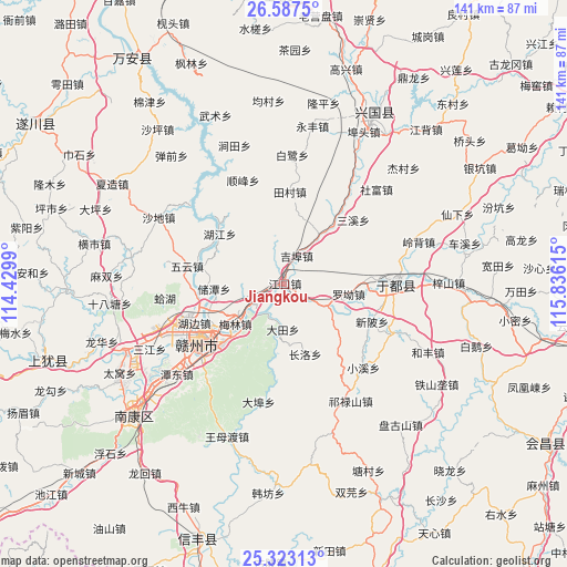
Jiangkou GPS coordinates[2]
25° 57' 25.236" North, 115° 7' 58.872" East
| Map corner | latitude | longitude |
|---|---|---|
| Upper-left | 26.5875°, | 114.4299° |
| Center: | 25.95701°, | 115.13302° |
| Lower-right: | 25.32313°, | 115.83615° |
| Map W x H: | 140.6×140.6 km | = 87.4×87.4mi |
| max Lat: | 53.31946° ⇑82.5% North |
| Jiangkou: | 25.95701° |
| min Lat: | ⇓17.5% South 18.22056° |
| min Long | Jiangkou | max Long |
| 75.07348° | 115.13302° | 134.28917° |
| W 55%⇐ | ⇒45% E |
Elevation
Elevation of Jiangkou is 120 m = 394 ft, and this is 364.8 m = 1197 ft below average elevation for this country.
| Max E: |
5622 m = 18445 ft | 56.6% |
| Avg. | 484.8 m = 1591 ft | |
| Jiangkou | 120 m = 394 ft | |
Min E: |
-3 m = -10 ft | 43.4% |
See also: China elevation on elevation.city.
Geographical zone
Jiangkou is located in North temperate zone (between Tropic of Cancer and the Arctic Circle). Distance of this Northern Tropic circle is 280.2 km =174.1 mi to South.| Distance of | km | miles | from Jiangkou |
|---|---|---|---|
| North Pole | 7120.9 | 4424.7 | to North |
| Arctic Circle | 4515 | 2805.5 | to North |
| Tropic Cancer | 280.2 | 174.1 | to South |
| Equator | 2886.1 | 1793.3 | to South |


Nearby cities:
15 places around Jiangkou: (largest is in red/bold)
• Changluo
17.7 km =11 mi,  163°
163°
• Dabu
30 km =18.6 mi,  192°
192°
• Datian
11.3 km =7 mi,  182°
182°
• Ganzhou
23.5 km =14.6 mi,  238°
238°
• Gongjiang
27.7 km =17.2 mi,  89°
89°
• Jibu
7.5 km =4.7 mi,  18°
18°
• Licun
28.7 km =17.8 mi,  115°
115°
• Luojiang
14.7 km =9.1 mi,  125°
125°
• Luo’ao
16.2 km =10.1 mi,  98°
98°
• Maodian
10.5 km =6.5 mi, 237°
• Meilin
15.4 km =9.6 mi,  232°
232°
• Sanxixiang
23.1 km =14.4 mi,  46°
46°
• Shunfeng
27.8 km =17.3 mi,  338°
338°
• Xiaoxi
28.6 km =17.8 mi,  136°
136°
• Xinbei
23.4 km =14.5 mi,  113°
113°
Sources, notices
• [Note1] Compared only with cities in China existing in our database
• [Src1] Map data: © OpenStreetMap contributors (CC-BY-SA)
• [Src2] Other city data from geonames.org with taken over terms of usage.
• [Src3] Geographical zone / Annual Mean Temperature by Robert A. Rohde @ Wikipedia
