Huafeng geodata
Huafeng (Fujian) is a seat of a third-order administrative division; located in China in Asia/Shanghai (GMT+8) time zone. In our database, there are 1268 cities with bigger population. Compared to other cities in China, 86.4% of cities are located further ↑North; 68.9% of cities are located further ←West and 52.9% of cities have higher elevation than Huafeng. Note1


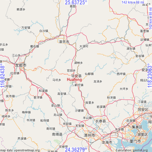
Huafeng GPS coordinates[2]
25° 0' 6.012" North, 117° 31' 39" East
| Map corner | latitude | longitude |
|---|---|---|
| Upper-left | 25.63725°, | 116.82438° |
| Center: | 25.00167°, | 117.5275° |
| Lower-right: | 24.36279°, | 118.23063° |
| Map W x H: | 141.7×141.7 km | = 88×88mi |
| max Lat: | 53.31946° ⇑86.4% North |
| Huafeng: | 25.00167° |
| min Lat: | ⇓13.6% South 18.22056° |
| min Long | Huafeng | max Long |
| 75.07348° | 117.5275° | 134.28917° |
| W 68.9%⇐ | ⇒31.1% E |
Elevation
Elevation of Huafeng is 144 m = 472 ft, and this is 340.8 m = 1118 ft below average elevation for this country.
| Max E: |
5622 m = 18445 ft | 52.9% |
| Avg. | 484.8 m = 1591 ft | |
| Huafeng | 144 m = 472 ft | |
Min E: |
-3 m = -10 ft | 47.1% |
See also: China elevation on elevation.city.
Geographical zone
Huafeng is located in North temperate zone (between Tropic of Cancer and the Arctic Circle). Distance of this Northern Tropic circle is 174 km =108.1 mi to South.| Distance of | km | miles | from Huafeng |
|---|---|---|---|
| North Pole | 7227.1 | 4490.7 | to North |
| Arctic Circle | 4621.2 | 2871.5 | to North |
| Tropic Cancer | 174 | 108.1 | to South |
| Equator | 2779.9 | 1727.3 | to South |


Nearby cities:
15 places around Huafeng: (largest is in red/bold)
• Changkeng
40.5 km =25.2 mi,  57°
57°
• Futian
30.5 km =19 mi,  16°
16°
• Gongqiao
34.6 km =21.5 mi,  322°
322°
• Guantian
7.2 km =4.5 mi, 321°
• Heping
39.3 km =24.4 mi,  344°
344°
• Hulin
13 km =8.1 mi,  9°
9°
• Jingchen
35 km =21.7 mi, 339°
• Lantian
37.9 km =23.5 mi,  67°
67°
• Lutian
30 km =18.6 mi,  85°
85°
• Luzhi
32 km =19.9 mi,  347°
347°
• Xiandu
12.4 km =7.7 mi,  78°
78°
• Xianghua
29.4 km =18.3 mi,  45°
45°
• Yanshan
39.3 km =24.4 mi,  296°
296°
• Yongfu
23.7 km =14.7 mi,  287°
287°
• Zhangping
35 km =21.7 mi, 341°
Sources, notices
• [Note1] Compared only with cities in China existing in our database
• [Src1] Map data: © OpenStreetMap contributors (CC-BY-SA)
• [Src2] Other city data from geonames.org with taken over terms of usage.
• [Src3] Geographical zone / Annual Mean Temperature by Robert A. Rohde @ Wikipedia
