Gushan geodata
Gushan (Zhejiang) is a seat of a fourth-order administrative division; located in China in Asia/Shanghai (GMT+8) time zone. In our database, there are 1268 cities with bigger population. Compared to other cities in China, 65.6% of cities are located further ↑North; 83% of cities are located further ←West and 57.2% of cities have higher elevation than Gushan. Note1


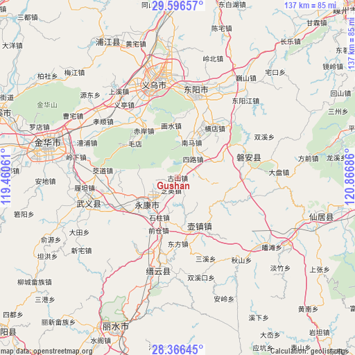
Gushan GPS coordinates[2]
28° 59' 0.024" North, 120° 9' 49.428" East
| Map corner | latitude | longitude |
|---|---|---|
| Upper-left | 29.59657°, | 119.46061° |
| Center: | 28.98334°, | 120.16373° |
| Lower-right: | 28.36645°, | 120.86686° |
| Map W x H: | 136.8×136.8 km | = 85×85mi |
| max Lat: | 53.31946° ⇑65.6% North |
| Gushan: | 28.98334° |
| min Lat: | ⇓34.4% South 18.22056° |
| min Long | Gushan | max Long |
| 75.07348° | 120.16373° | 134.28917° |
| W 83%⇐ | ⇒17% E |
Elevation
Elevation of Gushan is 116 m = 381 ft, and this is 368.8 m = 1210 ft below average elevation for this country.
| Max E: |
5622 m = 18445 ft | 57.2% |
| Avg. | 484.8 m = 1591 ft | |
| Gushan | 116 m = 381 ft | |
Min E: |
-3 m = -10 ft | 42.8% |
See also: China elevation on elevation.city.
Geographical zone
Gushan is located in North temperate zone (between Tropic of Cancer and the Arctic Circle). Distance of this Northern Tropic circle is 616.7 km =383.2 mi to South.| Distance of | km | miles | from Gushan |
|---|---|---|---|
| North Pole | 6784.4 | 4215.6 | to North |
| Arctic Circle | 4178.5 | 2596.4 | to North |
| Tropic Cancer | 616.7 | 383.2 | to South |
| Equator | 3222.6 | 2002.4 | to South |


Nearby cities:
15 places around Gushan: (largest is in red/bold)
• Baizhu
14.3 km =8.9 mi,  124°
124°
• Dongcheng
15.6 km =9.7 mi,  230°
230°
• Fangjun
12.6 km =7.8 mi,  38°
38°
• Fangyan
5.6 km =3.5 mi,  153°
153°
• Guli
17 km =10.6 mi, 228°
• Jiangnan
17.1 km =10.6 mi, 233°
• Longshan
4.8 km =3 mi,  21°
21°
• Nanshi
19.5 km =12.1 mi, 19°
• Qianxiang
16 km =9.9 mi,  65°
65°
• Quanfu
14.5 km =9 mi, 22°
• Sanlian
18.8 km =11.7 mi, 69°
• Shizhu
16.7 km =10.4 mi,  203°
203°
• Xiangzhu
8 km =5 mi,  275°
275°
• Xicheng
17 km =10.6 mi, 234°
• Zhiying
5.5 km =3.4 mi,  223°
223°
Sources, notices
• [Note1] Compared only with cities in China existing in our database
• [Src1] Map data: © OpenStreetMap contributors (CC-BY-SA)
• [Src2] Other city data from geonames.org with taken over terms of usage.
• [Src3] Geographical zone / Annual Mean Temperature by Robert A. Rohde @ Wikipedia
