Fuxing geodata
Fuxing (Hunan) is a seat of a fourth-order administrative division; located in China in Asia/Shanghai (GMT+8) time zone. In our database, there are 1268 cities with bigger population. Compared to other cities in China, 68.6% of cities are located further ↑North; 73.6% of cities are located further →East and 58.9% of cities have lower elevation than Fuxing. Note1


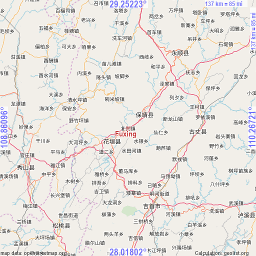
Fuxing GPS coordinates[2]
28° 38' 12.984" North, 109° 33' 50.688" East
| Map corner | latitude | longitude |
|---|---|---|
| Upper-left | 29.25223°, | 108.86096° |
| Center: | 28.63694°, | 109.56408° |
| Lower-right: | 28.01802°, | 110.26721° |
| Map W x H: | 137.2×137.2 km | = 85.3×85.3mi |
| max Lat: | 53.31946° ⇑68.6% North |
| Fuxing: | 28.63694° |
| min Lat: | ⇓31.4% South 18.22056° |
| min Long | Fuxing | max Long |
| 75.07348° | 109.56408° | 134.28917° |
| W 26.4%⇐ | ⇒73.6% E |
Elevation
Elevation of Fuxing is 246 m = 807 ft, and this is 238.8 m = 783 ft below average elevation for this country.
| Max E: |
5622 m = 18445 ft | 41.1% |
| Avg. | 484.8 m = 1591 ft | |
| Fuxing | 246 m = 807 ft | |
Min E: |
-3 m = -10 ft | 58.9% |
See also: China elevation on elevation.city.
Geographical zone
Fuxing is located in North temperate zone (between Tropic of Cancer and the Arctic Circle). Distance of this Northern Tropic circle is 578.2 km =359.3 mi to South.| Distance of | km | miles | from Fuxing |
|---|---|---|---|
| North Pole | 6822.9 | 4239.6 | to North |
| Arctic Circle | 4217 | 2620.3 | to North |
| Tropic Cancer | 578.2 | 359.3 | to South |
| Equator | 3184.1 | 1978.5 | to South |


Nearby cities:
15 places around Fuxing: (largest is in red/bold)
• Angdong
14.8 km =9.2 mi,  6°
6°
• Bamao
16.1 km =10 mi,  333°
333°
• Boji
16 km =9.9 mi,  261°
261°
• Datuo
10.4 km =6.5 mi,  294°
294°
• Huayuan
10.2 km =6.3 mi,  237°
237°
• Longxi
15.2 km =9.4 mi,  41°
41°
• Meihua
11.6 km =7.2 mi,  52°
52°
• Qianling
11.5 km =7.1 mi, 43°
• Qingshui
9 km =5.6 mi, 242°
• Shuitianhe
11.8 km =7.3 mi,  170°
170°
• Shuiyin
9.7 km =6 mi,  133°
133°
• Tuzha
14 km =8.7 mi,  115°
115°
• Woshao
16.8 km =10.4 mi,  208°
208°
• Xianren
17.8 km =11.1 mi,  96°
96°
• Yangchao
13.5 km =8.4 mi,  76°
76°
Sources, notices
• [Note1] Compared only with cities in China existing in our database
• [Src1] Map data: © OpenStreetMap contributors (CC-BY-SA)
• [Src2] Other city data from geonames.org with taken over terms of usage.
• [Src3] Geographical zone / Annual Mean Temperature by Robert A. Rohde @ Wikipedia
