Fencheng geodata
Fencheng (Shanxi) is a seat of a fourth-order administrative division; located in China in Asia/Shanghai (GMT+8) time zone. In our database, there are 1268 cities with bigger population. Compared to other cities in China, 76.8% of cities are located further ↓South; 66% of cities are located further →East and 74.7% of cities have lower elevation than Fencheng. Note1


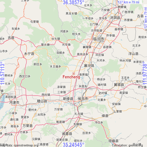
Fencheng GPS coordinates[2]
35° 49' 3.54" North, 111° 16' 27.3" East
| Map corner | latitude | longitude |
|---|---|---|
| Upper-left | 36.38575°, | 110.57113° |
| Center: | 35.81765°, | 111.27425° |
| Lower-right: | 35.24545°, | 111.97738° |
| Map W x H: | 126.8×126.8 km | = 78.8×78.8mi |
| max Lat: | 53.31946° ⇑23.2% North |
| Fencheng: | 35.81765° |
| min Lat: | ⇓76.8% South 18.22056° |
| min Long | Fencheng | max Long |
| 75.07348° | 111.27425° | 134.28917° |
| W 34%⇐ | ⇒66% E |
Elevation
Elevation of Fencheng is 515 m = 1690 ft, and this is 30.2 m = 99 ft above average elevation for this country.
| Max E: |
5622 m = 18445 ft | 25.3% |
| Fencheng | 515 m 1690 ft | |
| Avg. | 484.8 m = 1591 ft | |
Min E: |
-3 m = -10 ft | 74.7% |
See also: China elevation on elevation.city.
Geographical zone
Fencheng is located in North temperate zone (between Tropic of Cancer and the Arctic Circle). Distance of this Northern Tropic circle is 1376.6 km =855.4 mi to South.| Distance of | km | miles | from Fencheng |
|---|---|---|---|
| North Pole | 6024.5 | 3743.4 | to North |
| Arctic Circle | 3418.6 | 2124.2 | to North |
| Tropic Cancer | 1376.6 | 855.4 | to South |
| Equator | 3982.5 | 2474.6 | to South |


Nearby cities:
15 places around Fencheng: (largest is in red/bold)
• Beizhang
20.1 km =12.5 mi,  230°
230°
• Gaoxian
17.1 km =10.6 mi,  129°
129°
• Gucheng
11.2 km =7 mi,  21°
21°
• Jingmao
10.2 km =6.3 mi,  45°
45°
• Licun
17.5 km =10.9 mi,  111°
111°
• Nanjia
8.4 km =5.2 mi,  94°
94°
• Nanxindian
18.5 km =11.5 mi, 24°
• Sanquan
19 km =11.8 mi,  213°
213°
• Taosi
22.1 km =13.7 mi,  66°
66°
• Xijia
4.7 km =2.9 mi,  102°
102°
• Xincheng
15.9 km =9.9 mi, 66°
• Yonggu
13.4 km =8.3 mi,  143°
143°
• Zezhang
15.6 km =9.7 mi,  223°
223°
• Zhangcun
19.8 km =12.3 mi,  159°
159°
• Zhaokang
11.1 km =6.9 mi,  192°
192°
Sources, notices
• [Note1] Compared only with cities in China existing in our database
• [Src1] Map data: © OpenStreetMap contributors (CC-BY-SA)
• [Src2] Other city data from geonames.org with taken over terms of usage.
• [Src3] Geographical zone / Annual Mean Temperature by Robert A. Rohde @ Wikipedia
