Eling geodata
Eling (Anhui) is a seat of a fourth-order administrative division; located in China in Asia/Shanghai (GMT+8) time zone. In our database, there are 1268 cities with bigger population. Compared to other cities in China, 53.4% of cities are located further ↓South; 72% of cities are located further ←West and 80.2% of cities have higher elevation than Eling. Note1


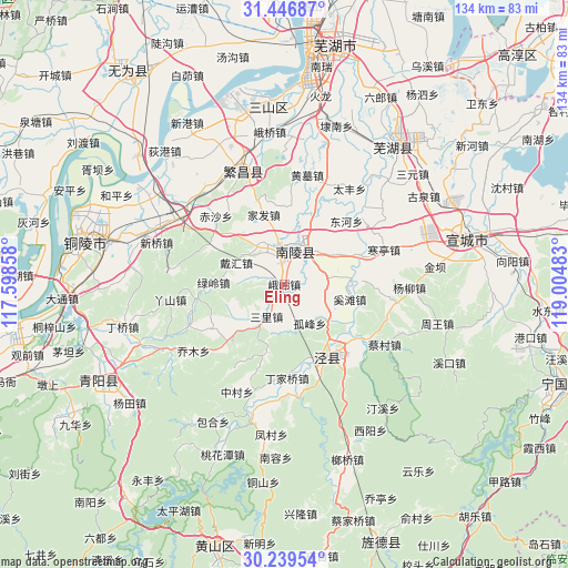
Eling GPS coordinates[2]
30° 50' 42.36" North, 118° 18' 6.12" East
| Map corner | latitude | longitude |
|---|---|---|
| Upper-left | 31.44687°, | 117.59858° |
| Center: | 30.8451°, | 118.3017° |
| Lower-right: | 30.23954°, | 119.00483° |
| Map W x H: | 134.2×134.2 km | = 83.4×83.4mi |
| max Lat: | 53.31946° ⇑46.6% North |
| Eling: | 30.8451° |
| min Lat: | ⇓53.4% South 18.22056° |
| min Long | Eling | max Long |
| 75.07348° | 118.3017° | 134.28917° |
| W 72%⇐ | ⇒28% E |
Elevation
Elevation of Eling is 26 m = 85 ft, and this is 458.8 m = 1505 ft below average elevation for this country.
| Max E: |
5622 m = 18445 ft | 80.2% |
| Avg. | 484.8 m = 1591 ft | |
| Eling | 26 m = 85 ft | |
Min E: |
-3 m = -10 ft | 19.8% |
See also: China elevation on elevation.city.
Geographical zone
Eling is located in North temperate zone (between Tropic of Cancer and the Arctic Circle). Distance of this Northern Tropic circle is 823.7 km =511.8 mi to South.| Distance of | km | miles | from Eling |
|---|---|---|---|
| North Pole | 6577.4 | 4087 | to North |
| Arctic Circle | 3971.5 | 2467.8 | to North |
| Tropic Cancer | 823.7 | 511.8 | to South |
| Equator | 3429.7 | 2131.1 | to South |


Nearby cities:
15 places around Eling: (largest is in red/bold)
• Changqiao
13.7 km =8.5 mi,  133°
133°
• Daihui
12.4 km =7.7 mi,  294°
294°
• Gelin
8.7 km =5.4 mi,  61°
61°
• Gongshan
11.2 km =7 mi,  334°
334°
• Gufeng
11 km =6.8 mi,  146°
146°
• Jiafa
17.1 km =10.6 mi,  343°
343°
• Jishan
8.9 km =5.5 mi,  17°
17°
• Jiulian
14.5 km =9 mi,  32°
32°
• Lüling
16.7 km =10.4 mi,  271°
271°
• Pingpu
18.4 km =11.4 mi,  5°
5°
• Sanli
8.9 km =5.5 mi,  210°
210°
• Shipu
11 km =6.8 mi,  45°
45°
• Taiyuan
17.7 km =11 mi, 147°
• Tongtuan
4.4 km =2.7 mi,  120°
120°
• Yijiang
18.9 km =11.7 mi,  68°
68°
Sources, notices
• [Note1] Compared only with cities in China existing in our database
• [Src1] Map data: © OpenStreetMap contributors (CC-BY-SA)
• [Src2] Other city data from geonames.org with taken over terms of usage.
• [Src3] Geographical zone / Annual Mean Temperature by Robert A. Rohde @ Wikipedia
