Chigan geodata
Chigan (Shaanxi) is a seat of a fourth-order administrative division; located in China in Asia/Shanghai (GMT+8) time zone. In our database, there are 1268 cities with bigger population. Compared to other cities in China, 73.8% of cities are located further ↓South; 78.8% of cities are located further →East and 86.2% of cities have lower elevation than Chigan. Note1


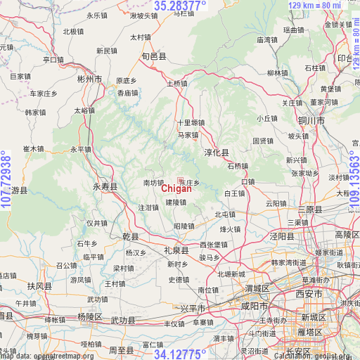
Chigan GPS coordinates[2]
34° 42' 28.008" North, 108° 25' 57" East
| Map corner | latitude | longitude |
|---|---|---|
| Upper-left | 35.28377°, | 107.72938° |
| Center: | 34.70778°, | 108.4325° |
| Lower-right: | 34.12775°, | 109.13563° |
| Map W x H: | 128.5×128.5 km | = 79.8×79.8mi |
| max Lat: | 53.31946° ⇑26.2% North |
| Chigan: | 34.70778° |
| min Lat: | ⇓73.8% South 18.22056° |
| min Long | Chigan | max Long |
| 75.07348° | 108.4325° | 134.28917° |
| W 21.2%⇐ | ⇒78.8% E |
Elevation
Elevation of Chigan is 1055 m = 3461 ft, and this is 570.2 m = 1871 ft above average elevation for this country.
| Max E: |
5622 m = 18445 ft | 13.8% |
| Chigan | 1055 m 3461 ft | |
| Avg. | 484.8 m = 1591 ft | |
Min E: |
-3 m = -10 ft | 86.2% |
See also: China elevation on elevation.city.
Geographical zone
Chigan is located in North temperate zone (between Tropic of Cancer and the Arctic Circle). Distance of this Northern Tropic circle is 1253.2 km =778.7 mi to South.| Distance of | km | miles | from Chigan |
|---|---|---|---|
| North Pole | 6147.9 | 3820.1 | to North |
| Arctic Circle | 3542 | 2200.9 | to North |
| Tropic Cancer | 1253.2 | 778.7 | to South |
| Equator | 3859.1 | 2397.9 | to South |


Nearby cities:
15 places around Chigan: (largest is in red/bold)
• Baiwang
20.2 km =12.6 mi,  100°
100°
• Chunhua
16.5 km =10.3 mi,  52°
52°
• Dadian
17.8 km =11.1 mi,  65°
65°
• Dongwu
13.4 km =8.3 mi,  40°
40°
• Doujia
15.6 km =9.7 mi,  309°
309°
• Fengyang
14.5 km =9 mi,  259°
259°
• Jianling
7.7 km =4.8 mi,  191°
191°
• Majia
16.9 km =10.5 mi,  8°
8°
• Nanfang
9.1 km =5.7 mi,  270°
270°
• Runzhen
19.3 km =12 mi,  20°
20°
• Shitan
16.3 km =10.1 mi,  204°
204°
• Yanxia
17.8 km =11.1 mi,  145°
145°
• Zhaoling
16.1 km =10 mi,  175°
175°
• Zhaozhen
17.7 km =11 mi,  160°
160°
• Zhuganzhen
14.7 km =9.1 mi,  230°
230°
Sources, notices
• [Note1] Compared only with cities in China existing in our database
• [Src1] Map data: © OpenStreetMap contributors (CC-BY-SA)
• [Src2] Other city data from geonames.org with taken over terms of usage.
• [Src3] Geographical zone / Annual Mean Temperature by Robert A. Rohde @ Wikipedia
