Chen’er geodata
Chen’er (Hunan) is a seat of a fourth-order administrative division; located in China in Asia/Shanghai (GMT+8) time zone. In our database, there are 1268 cities with bigger population. Compared to other cities in China, 61.4% of cities are located further ↑North; 64.4% of cities are located further →East and 66.1% of cities have higher elevation than Chen’er. Note1


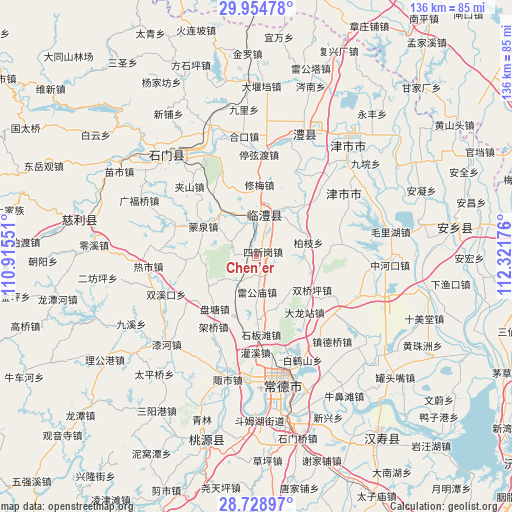
Chen’er GPS coordinates[2]
29° 20' 37.392" North, 111° 37' 7.068" East
| Map corner | latitude | longitude |
|---|---|---|
| Upper-left | 29.95478°, | 110.91551° |
| Center: | 29.34372°, | 111.61863° |
| Lower-right: | 28.72897°, | 112.32176° |
| Map W x H: | 136.3×136.3 km | = 84.7×84.7mi |
| max Lat: | 53.31946° ⇑61.4% North |
| Chen’er: | 29.34372° |
| min Lat: | ⇓38.6% South 18.22056° |
| min Long | Chen’er | max Long |
| 75.07348° | 111.61863° | 134.28917° |
| W 35.6%⇐ | ⇒64.4% E |
Elevation
Elevation of Chen’er is 68 m = 223 ft, and this is 416.8 m = 1367 ft below average elevation for this country.
| Max E: |
5622 m = 18445 ft | 66.1% |
| Avg. | 484.8 m = 1591 ft | |
| Chen’er | 68 m = 223 ft | |
Min E: |
-3 m = -10 ft | 33.9% |
See also: China elevation on elevation.city.
Geographical zone
Chen’er is located in North temperate zone (between Tropic of Cancer and the Arctic Circle). Distance of this Northern Tropic circle is 656.8 km =408.1 mi to South.| Distance of | km | miles | from Chen’er |
|---|---|---|---|
| North Pole | 6744.3 | 4190.7 | to North |
| Arctic Circle | 4138.5 | 2571.5 | to North |
| Tropic Cancer | 656.8 | 408.1 | to South |
| Equator | 3262.7 | 2027.3 | to South |


Nearby cities:
15 places around Chen’er: (largest is in red/bold)
• Baizhi
14.2 km =8.8 mi,  75°
75°
• Caijiagang
17.2 km =10.7 mi,  180°
180°
• Changlinggang
14.2 km =8.8 mi,  149°
149°
• Fenghuo
17.9 km =11.1 mi,  44°
44°
• Leigongmiao
9.7 km =6 mi, 180°
• Linli
12.2 km =7.6 mi,  14°
14°
• Mengquan
16 km =9.9 mi,  299°
299°
• Pantang
18 km =11.2 mi,  217°
217°
• Sheshiqiao
14.7 km =9.1 mi,  318°
318°
• Shuangqiaoping
17.3 km =10.7 mi,  119°
119°
• Sixingang
2.4 km =1.5 mi, 43°
• Taifu
6.9 km =4.3 mi,  207°
207°
• Wangcheng
8.5 km =5.3 mi,  20°
20°
• Wenjia
8.3 km =5.2 mi, 299°
• Xiumei
18.9 km =11.7 mi,  2°
2°
Sources, notices
• [Note1] Compared only with cities in China existing in our database
• [Src1] Map data: © OpenStreetMap contributors (CC-BY-SA)
• [Src2] Other city data from geonames.org with taken over terms of usage.
• [Src3] Geographical zone / Annual Mean Temperature by Robert A. Rohde @ Wikipedia
