Benniu geodata
Benniu (Jiangsu) is a seat of a fourth-order administrative division; located in China in Asia/Shanghai (GMT+8) time zone. In our database, there are 1268 cities with bigger population. Compared to other cities in China, 60.4% of cities are located further ↓South; 80.7% of cities are located further ←West and 92.7% of cities have higher elevation than Benniu. Note1


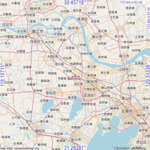
Benniu GPS coordinates[2]
31° 51' 42.912" North, 119° 48' 36.828" East
| Map corner | latitude | longitude |
|---|---|---|
| Upper-left | 32.45716°, | 119.10711° |
| Center: | 31.86192°, | 119.81023° |
| Lower-right: | 31.26281°, | 120.51336° |
| Map W x H: | 132.8×132.8 km | = 82.5×82.5mi |
| max Lat: | 53.31946° ⇑39.6% North |
| Benniu: | 31.86192° |
| min Lat: | ⇓60.4% South 18.22056° |
| min Long | Benniu | max Long |
| 75.07348° | 119.81023° | 134.28917° |
| W 80.7%⇐ | ⇒19.3% E |
Elevation
Elevation of Benniu is 8 m = 26 ft, and this is 476.8 m = 1564 ft below average elevation for this country.
| Max E: |
5622 m = 18445 ft | 92.7% |
| Avg. | 484.8 m = 1591 ft | |
| Benniu | 8 m = 26 ft | |
Min E: |
-3 m = -10 ft | 7.3% |
See also: China elevation on elevation.city.
Geographical zone
Benniu is located in North temperate zone (between Tropic of Cancer and the Arctic Circle). Distance of this Northern Tropic circle is 936.8 km =582.1 mi to South.| Distance of | km | miles | from Benniu |
|---|---|---|---|
| North Pole | 6464.3 | 4016.7 | to North |
| Arctic Circle | 3858.5 | 2397.6 | to North |
| Tropic Cancer | 936.8 | 582.1 | to South |
| Equator | 3542.7 | 2201.3 | to South |


Nearby cities:
15 places around Benniu: (largest is in red/bold)
• Beigang
9.7 km =6 mi,  138°
138°
• Dashu
11.9 km =7.4 mi,  257°
257°
• Hehai
16.2 km =10.1 mi,  102°
102°
• Huangtang
14.3 km =8.9 mi,  232°
232°
• Longhutang
16.2 km =10.1 mi,  93°
93°
• Luoxi
4.8 km =3 mi,  352°
352°
• Lücheng
8.2 km =5.1 mi,  299°
299°
• Niutang
16.3 km =10.1 mi,  150°
150°
• Weicun
16.3 km =10.1 mi,  42°
42°
• Xilin
12.6 km =7.8 mi, 145°
• Xinqiao
13.6 km =8.5 mi, 89°
• Xinzha
9 km =5.6 mi,  122°
122°
• Xixiashu
9.9 km =6.2 mi,  5°
5°
• Xuejia
9.8 km =6.1 mi, 90°
• Zouqu
7.8 km =4.8 mi,  159°
159°
Sources, notices
• [Note1] Compared only with cities in China existing in our database
• [Src1] Map data: © OpenStreetMap contributors (CC-BY-SA)
• [Src2] Other city data from geonames.org with taken over terms of usage.
• [Src3] Geographical zone / Annual Mean Temperature by Robert A. Rohde @ Wikipedia
