Beipo geodata
Beipo (Guangdong) is a seat of a fourth-order administrative division; located in China in Asia/Urumqi (GMT+6) time zone. In our database, there are 1268 cities with bigger population. Compared to other cities in China, 98.4% of cities are located further ↑North; 71.8% of cities are located further →East and 79.8% of cities have higher elevation than Beipo. Note1


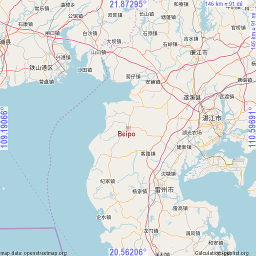
Beipo GPS coordinates[2]
21° 13' 8.256" North, 109° 53' 37.608" East
| Map corner | latitude | longitude |
|---|---|---|
| Upper-left | 21.87295°, | 109.19066° |
| Center: | 21.21896°, | 109.89378° |
| Lower-right: | 20.56206°, | 110.59691° |
| Map W x H: | 145.8×145.8 km | = 90.6×90.6mi |
| max Lat: | 53.31946° ⇑98.4% North |
| Beipo: | 21.21896° |
| min Lat: | ⇓1.6% South 18.22056° |
| min Long | Beipo | max Long |
| 75.07348° | 109.89378° | 134.28917° |
| W 28.2%⇐ | ⇒71.8% E |
Elevation
Elevation of Beipo is 27 m = 89 ft, and this is 457.8 m = 1502 ft below average elevation for this country.
| Max E: |
5622 m = 18445 ft | 79.8% |
| Avg. | 484.8 m = 1591 ft | |
| Beipo | 27 m = 89 ft | |
Min E: |
-3 m = -10 ft | 20.2% |
See also: China elevation on elevation.city.
Geographical zone
Beipo is located in North Torrid zone (between Equator and Tropic of Cancer). Distance of this Northern Tropic circle is 246.6 km =153.2 mi to North.| Distance of | km | miles | from Beipo |
|---|---|---|---|
| North Pole | 7647.7 | 4752.1 | to North |
| Arctic Circle | 5041.8 | 3132.8 | to North |
| Tropic Cancer | 246.6 | 153.2 | to North |
| Equator | 2359.3 | 1466 | to South |


Nearby cities:
15 places around Beipo: (largest is in red/bold)
• Anpu
29.6 km =18.4 mi,  27°
27°
• Caotan
12.8 km =8 mi,  293°
293°
• Chengyue
19.4 km =12.1 mi,  107°
107°
• Gangmen
9.7 km =6 mi,  267°
267°
• Hetou
18.5 km =11.5 mi,  194°
194°
• Jianghong
29.1 km =18.1 mi,  219°
219°
• Jiepao
20.9 km =13 mi,  19°
19°
• Jijia
31.3 km =19.4 mi,  199°
199°
• Kelu
19.5 km =12.1 mi,  138°
138°
• Lemin
17.1 km =10.6 mi,  236°
236°
• Lingbei
28.5 km =17.7 mi,  79°
79°
• Wutang
12.2 km =7.6 mi,  66°
66°
• Yanggan
11.7 km =7.3 mi,  12°
12°
• Yangqing
26.8 km =16.7 mi,  55°
55°
• Yingzai
30.4 km =18.9 mi, 6°
Sources, notices
• [Note1] Compared only with cities in China existing in our database
• [Src1] Map data: © OpenStreetMap contributors (CC-BY-SA)
• [Src2] Other city data from geonames.org with taken over terms of usage.
• [Src3] Geographical zone / Annual Mean Temperature by Robert A. Rohde @ Wikipedia
