Baishatan geodata
Baishatan (Shandong) is a seat of a fourth-order administrative division; located in China in Asia/Shanghai (GMT+8) time zone. In our database, there are 1268 cities with bigger population. Compared to other cities in China, 78.8% of cities are located further ↓South; 90.6% of cities are located further ←West and 89.9% of cities have higher elevation than Baishatan. Note1


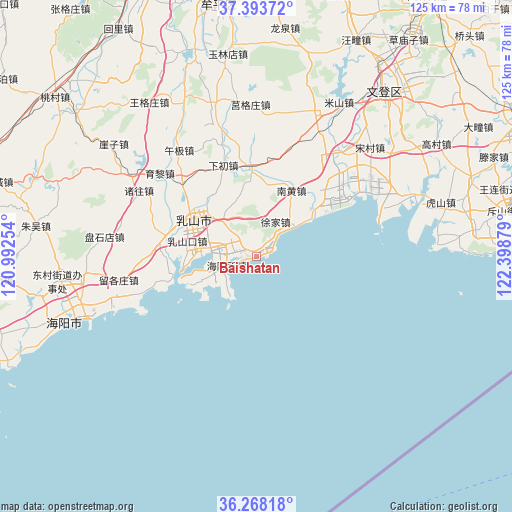
Baishatan GPS coordinates[2]
36° 49' 58.872" North, 121° 41' 44.376" East
| Map corner | latitude | longitude |
|---|---|---|
| Upper-left | 37.39372°, | 120.99254° |
| Center: | 36.83302°, | 121.69566° |
| Lower-right: | 36.26818°, | 122.39879° |
| Map W x H: | 125.1×125.1 km | = 77.7×77.7mi |
| max Lat: | 53.31946° ⇑21.2% North |
| Baishatan: | 36.83302° |
| min Lat: | ⇓78.8% South 18.22056° |
| min Long | Baishatan | max Long |
| 75.07348° | 121.69566° | 134.28917° |
| W 90.6%⇐ | ⇒9.4% E |
Elevation
Elevation of Baishatan is 10 m = 33 ft, and this is 474.8 m = 1558 ft below average elevation for this country.
| Max E: |
5622 m = 18445 ft | 89.9% |
| Avg. | 484.8 m = 1591 ft | |
| Baishatan | 10 m = 33 ft | |
Min E: |
-3 m = -10 ft | 10.1% |
See also: China elevation on elevation.city.
Geographical zone
Baishatan is located in North temperate zone (between Tropic of Cancer and the Arctic Circle). Distance of this Northern Tropic circle is 1489.5 km =925.5 mi to South.| Distance of | km | miles | from Baishatan |
|---|---|---|---|
| North Pole | 5911.6 | 3673.3 | to North |
| Arctic Circle | 3305.7 | 2054.1 | to North |
| Tropic Cancer | 1489.5 | 925.5 | to South |
| Equator | 4095.4 | 2544.8 | to South |


Nearby cities:
15 places around Baishatan: (largest is in red/bold)
• Chengqu
17.5 km =10.9 mi,  299°
299°
• Dagushan
11.1 km =6.9 mi,  327°
327°
• Fengjia
22.5 km =14 mi,  354°
354°
• Gejia
38.2 km =23.7 mi,  21°
21°
• Haiyangsuo
7.6 km =4.7 mi,  247°
247°
• Jugezhuang
37.1 km =23.1 mi,  358°
358°
• Nanhuang
18.3 km =11.4 mi,  28°
28°
• Rushankou
17.1 km =10.6 mi,  282°
282°
• Rushanzhai
22.9 km =14.2 mi, 284°
• Wuji
32 km =19.9 mi,  324°
324°
• Xiachu
23.6 km =14.7 mi,  340°
340°
• Xiaoguan
22.3 km =13.9 mi,  44°
44°
• Xujia
9.6 km =6 mi, 29°
• Zeku
34.1 km =21.2 mi,  69°
69°
• Zetou
29.5 km =18.3 mi, 35°
Sources, notices
• [Note1] Compared only with cities in China existing in our database
• [Src1] Map data: © OpenStreetMap contributors (CC-BY-SA)
• [Src2] Other city data from geonames.org with taken over terms of usage.
• [Src3] Geographical zone / Annual Mean Temperature by Robert A. Rohde @ Wikipedia
