Pingdong geodata
Pingdong (Jiangsu) is a seat of a fourth-order administrative division; located in China in Asia/Shanghai (GMT+8) time zone. In our database, there are 1268 cities with bigger population. Compared to other cities in China, 62% of cities are located further ↓South; 86.7% of cities are located further ←West and 95.9% of cities have higher elevation than Pingdong. Note1


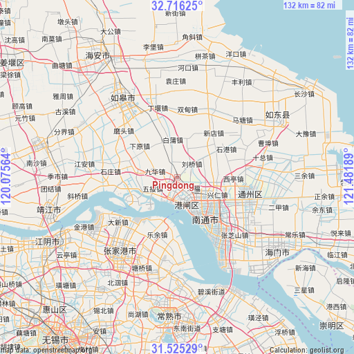
Pingdong GPS coordinates[2]
32° 7' 21.756" North, 120° 46' 43.536" East
| Map corner | latitude | longitude |
|---|---|---|
| Upper-left | 32.71625°, | 120.07564° |
| Center: | 32.12271°, | 120.77876° |
| Lower-right: | 31.52529°, | 121.48189° |
| Map W x H: | 132.4×132.4 km | = 82.3×82.3mi |
| max Lat: | 53.31946° ⇑38% North |
| Pingdong: | 32.12271° |
| min Lat: | ⇓62% South 18.22056° |
| min Long | Pingdong | max Long |
| 75.07348° | 120.77876° | 134.28917° |
| W 86.7%⇐ | ⇒13.3% E |
Elevation
Elevation of Pingdong is 6 m = 20 ft, and this is 478.8 m = 1571 ft below average elevation for this country.
| Max E: |
5622 m = 18445 ft | 95.9% |
| Avg. | 484.8 m = 1591 ft | |
| Pingdong | 6 m = 20 ft | |
Min E: |
-3 m = -10 ft | 4.1% |
See also: China elevation on elevation.city.
Geographical zone
Pingdong is located in North temperate zone (between Tropic of Cancer and the Arctic Circle). Distance of this Northern Tropic circle is 965.8 km =600.1 mi to South.| Distance of | km | miles | from Pingdong |
|---|---|---|---|
| North Pole | 6435.4 | 3998.8 | to North |
| Arctic Circle | 3829.5 | 2379.5 | to North |
| Tropic Cancer | 965.8 | 600.1 | to South |
| Equator | 3571.7 | 2219.4 | to South |


Nearby cities:
15 places around Pingdong: (largest is in red/bold)
• Baipu
13.6 km =8.5 mi,  350°
350°
• Chenqiao
3.1 km =1.9 mi,  134°
134°
• Guoyuan
18 km =11.2 mi,  285°
285°
• Jiuhua
12 km =7.5 mi,  277°
277°
• Liuqiao
7.5 km =4.7 mi,  47°
47°
• Nantong
13.7 km =8.5 mi,  138°
138°
• Pingchao
4.3 km =2.7 mi,  236°
236°
• Qinzao
10.2 km =6.3 mi, 129°
• Rengang
13.5 km =8.4 mi,  157°
157°
• Si’an
15.4 km =9.6 mi,  84°
84°
• Tangzha
6.9 km =4.3 mi, 159°
• Wujie
10.1 km =6.3 mi,  246°
246°
• Xiayuan
18.2 km =11.3 mi,  311°
311°
• Xingfu
6.6 km =4.1 mi, 125°
• Xingren
16.5 km =10.3 mi,  112°
112°
Sources, notices
• [Note1] Compared only with cities in China existing in our database
• [Src1] Map data: © OpenStreetMap contributors (CC-BY-SA)
• [Src2] Other city data from geonames.org with taken over terms of usage.
• [Src3] Geographical zone / Annual Mean Temperature by Robert A. Rohde @ Wikipedia
