Wudangshan geodata
Wudangshan (Hubei) is a seat of a fourth-order administrative division; located in China in Asia/Shanghai (GMT+8) time zone. In our database, there are 1268 cities with bigger population. Compared to other cities in China, 64% of cities are located further ↓South; 66.7% of cities are located further →East and 52.1% of cities have lower elevation than Wudangshan. Note1


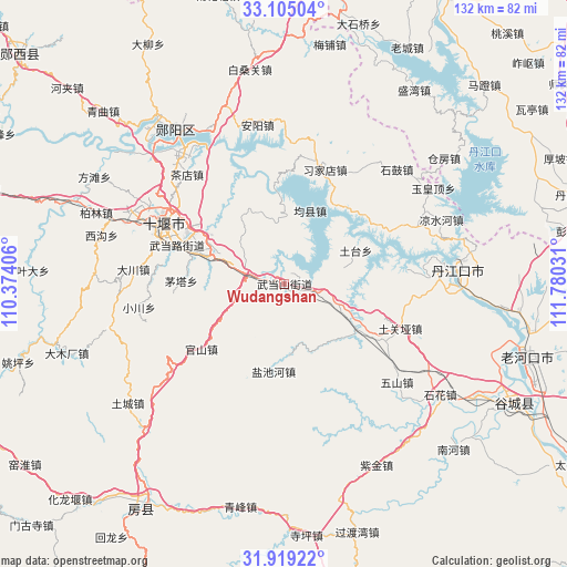
Wudangshan GPS coordinates[2]
32° 30' 50.724" North, 111° 4' 37.848" East
| Map corner | latitude | longitude |
|---|---|---|
| Upper-left | 33.10504°, | 110.37406° |
| Center: | 32.51409°, | 111.07718° |
| Lower-right: | 31.91922°, | 111.78031° |
| Map W x H: | 131.9×131.9 km | = 82×82mi |
| max Lat: | 53.31946° ⇑36% North |
| Wudangshan: | 32.51409° |
| min Lat: | ⇓64% South 18.22056° |
| min Long | Wudangshan | max Long |
| 75.07348° | 111.07718° | 134.28917° |
| W 33.3%⇐ | ⇒66.7% E |
Elevation
Elevation of Wudangshan is 182 m = 597 ft, and this is 302.8 m = 993 ft below average elevation for this country.
| Max E: |
5622 m = 18445 ft | 47.9% |
| Avg. | 484.8 m = 1591 ft | |
| Wudangshan | 182 m = 597 ft | |
Min E: |
-3 m = -10 ft | 52.1% |
See also: China elevation on elevation.city.
Geographical zone
Wudangshan is located in North temperate zone (between Tropic of Cancer and the Arctic Circle). Distance of this Northern Tropic circle is 1009.3 km =627.1 mi to South.| Distance of | km | miles | from Wudangshan |
|---|---|---|---|
| North Pole | 6391.8 | 3971.7 | to North |
| Arctic Circle | 3785.9 | 2352.4 | to North |
| Tropic Cancer | 1009.3 | 627.1 | to South |
| Equator | 3615.2 | 2246.4 | to South |


Nearby cities:
15 places around Wudangshan: (largest is in red/bold)
• Bailang
19 km =11.8 mi,  288°
288°
• Eryan
30.7 km =19.1 mi, 292°
• Guanshan
25.6 km =15.9 mi,  232°
232°
• Haoping
30.8 km =19.1 mi,  33°
33°
• Junxian
18 km =11.2 mi,  18°
18°
• Langhe
19.9 km =12.4 mi,  120°
120°
• Liuliping
9.3 km =5.8 mi,  283°
283°
• Maota
24.1 km =15 mi,  271°
271°
• Qingshan
28.6 km =17.8 mi,  327°
327°
• Tuguanya
28.8 km =17.9 mi,  111°
111°
• Tutai
19 km =11.8 mi,  64°
64°
• Wudanglu
27.6 km =17.1 mi, 288°
• Xijiadian
28.1 km =17.5 mi, 19°
• Yanchihe
20.7 km =12.9 mi,  186°
186°
• Yuanyang
20.5 km =12.7 mi,  296°
296°
Sources, notices
• [Note1] Compared only with cities in China existing in our database
• [Src1] Map data: © OpenStreetMap contributors (CC-BY-SA)
• [Src2] Other city data from geonames.org with taken over terms of usage.
• [Src3] Geographical zone / Annual Mean Temperature by Robert A. Rohde @ Wikipedia
