Fengcun geodata
Fengcun (Shaanxi) is a seat of a fourth-order administrative division; located in China in Asia/Shanghai (GMT+8) time zone. In our database, there are 1268 cities with bigger population. Compared to other cities in China, 74.5% of cities are located further ↓South; 72.1% of cities are located further →East and 67.9% of cities have lower elevation than Fengcun. Note1


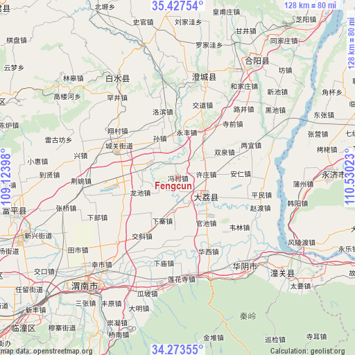
Fengcun GPS coordinates[2]
34° 51' 9.252" North, 109° 49' 37.56" East
| Map corner | latitude | longitude |
|---|---|---|
| Upper-left | 35.42754°, | 109.12398° |
| Center: | 34.85257°, | 109.8271° |
| Lower-right: | 34.27355°, | 110.53023° |
| Map W x H: | 128.3×128.3 km | = 79.7×79.7mi |
| max Lat: | 53.31946° ⇑25.5% North |
| Fengcun: | 34.85257° |
| min Lat: | ⇓74.5% South 18.22056° |
| min Long | Fengcun | max Long |
| 75.07348° | 109.8271° | 134.28917° |
| W 27.9%⇐ | ⇒72.1% E |
Elevation
Elevation of Fengcun is 375 m = 1230 ft, and this is 109.8 m = 360 ft below average elevation for this country.
| Max E: |
5622 m = 18445 ft | 32.1% |
| Avg. | 484.8 m = 1591 ft | |
| Fengcun | 375 m = 1230 ft | |
Min E: |
-3 m = -10 ft | 67.9% |
See also: China elevation on elevation.city.
Geographical zone
Fengcun is located in North temperate zone (between Tropic of Cancer and the Arctic Circle). Distance of this Northern Tropic circle is 1269.3 km =788.7 mi to South.| Distance of | km | miles | from Fengcun |
|---|---|---|---|
| North Pole | 6131.8 | 3810.1 | to North |
| Arctic Circle | 3525.9 | 2190.9 | to North |
| Tropic Cancer | 1269.3 | 788.7 | to South |
| Equator | 3875.2 | 2407.9 | to South |


Nearby cities:
15 places around Fengcun: (largest is in red/bold)
• Dali
12 km =7.5 mi,  121°
121°
• Dongchen
16.6 km =10.3 mi,  353°
353°
• Duanjia
2.4 km =1.5 mi,  340°
340°
• Guanlu
16 km =9.9 mi,  216°
216°
• Longchi
14.6 km =9.1 mi,  249°
249°
• Longyang
12.8 km =8 mi,  266°
266°
• Nianqiao
5.8 km =3.6 mi,  147°
147°
• Pinglumiao
10.6 km =6.6 mi,  307°
307°
• Qiangbai
11.8 km =7.3 mi,  187°
187°
• Shicao
15.4 km =9.6 mi,  137°
137°
• Sunzhen
16 km =9.9 mi, 335°
• Weizhuang
16.3 km =10.1 mi,  34°
34°
• Xiazhai
16.4 km =10.2 mi,  200°
200°
• Xuzhuang
10.4 km =6.5 mi,  82°
82°
• Yongfeng
16.6 km =10.3 mi,  10°
10°
Sources, notices
• [Note1] Compared only with cities in China existing in our database
• [Src1] Map data: © OpenStreetMap contributors (CC-BY-SA)
• [Src2] Other city data from geonames.org with taken over terms of usage.
• [Src3] Geographical zone / Annual Mean Temperature by Robert A. Rohde @ Wikipedia
