Juntang geodata
Juntang (Guangdong) is a seat of a fourth-order administrative division; located in China in Asia/Shanghai (GMT+8) time zone. In our database, there are 1268 cities with bigger population. Compared to other cities in China, 96.7% of cities are located further ↑North; 60.5% of cities are located further →East and 84.9% of cities have higher elevation than Juntang. Note1


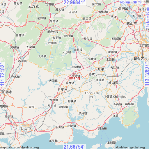
Juntang GPS coordinates[2]
22° 19' 10.164" North, 112° 25' 29.784" East
| Map corner | latitude | longitude |
|---|---|---|
| Upper-left | 22.96841°, | 111.72182° |
| Center: | 22.31949°, | 112.42494° |
| Lower-right: | 21.66754°, | 113.12807° |
| Map W x H: | 144.6×144.6 km | = 89.9×89.9mi |
| max Lat: | 53.31946° ⇑96.7% North |
| Juntang: | 22.31949° |
| min Lat: | ⇓3.3% South 18.22056° |
| min Long | Juntang | max Long |
| 75.07348° | 112.42494° | 134.28917° |
| W 39.5%⇐ | ⇒60.5% E |
Elevation
Elevation of Juntang is 16 m = 52 ft, and this is 468.8 m = 1538 ft below average elevation for this country.
| Max E: |
5622 m = 18445 ft | 84.9% |
| Avg. | 484.8 m = 1591 ft | |
| Juntang | 16 m = 52 ft | |
Min E: |
-3 m = -10 ft | 15.1% |
See also: China elevation on elevation.city.
Geographical zone
Juntang is located in North Torrid zone (between Equator and Tropic of Cancer). Distance of this Northern Tropic circle is 124.2 km =77.2 mi to North.| Distance of | km | miles | from Juntang |
|---|---|---|---|
| North Pole | 7525.4 | 4676.1 | to North |
| Arctic Circle | 4919.5 | 3056.8 | to North |
| Tropic Cancer | 124.2 | 77.2 | to North |
| Equator | 2481.7 | 1542.1 | to South |


Nearby cities:
15 places around Juntang: (largest is in red/bold)
• Baisha
19 km =11.8 mi,  113°
113°
• Cangcheng
21.7 km =13.5 mi,  35°
35°
• Chikan
16.1 km =10 mi,  88°
88°
• Datian
21.6 km =13.4 mi,  253°
253°
• Dongcheng
9.3 km =5.8 mi,  208°
208°
• Encheng
19.3 km =12 mi,  220°
220°
• Jinji
18 km =11.2 mi,  160°
160°
• Liangxi
9.1 km =5.7 mi,  271°
271°
• Magang
18.9 km =11.7 mi,  21°
21°
• Niujiang
7.8 km =4.8 mi,  323°
323°
• Pingshi
16.7 km =10.4 mi, 218°
• Shahu
8 km =5 mi,  11°
11°
• Shengtang
5.8 km =3.6 mi,  235°
235°
• Tangkou
20.5 km =12.7 mi,  74°
74°
• Xiangang
11.8 km =7.3 mi, 109°
Sources, notices
• [Note1] Compared only with cities in China existing in our database
• [Src1] Map data: © OpenStreetMap contributors (CC-BY-SA)
• [Src2] Other city data from geonames.org with taken over terms of usage.
• [Src3] Geographical zone / Annual Mean Temperature by Robert A. Rohde @ Wikipedia
