Hengkou geodata
Hengkou (Fujian) is a seat of a fourth-order administrative division; located in China in Asia/Shanghai (GMT+8) time zone. In our database, there are 1268 cities with bigger population. Compared to other cities in China, 84.4% of cities are located further ↑North; 70.2% of cities are located further ←West and 83% of cities have lower elevation than Hengkou. Note1


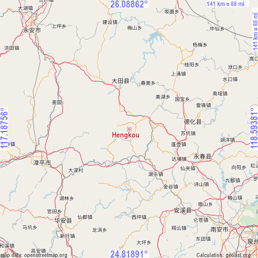
Hengkou GPS coordinates[2]
25° 27' 19.584" North, 117° 53' 26.448" East
| Map corner | latitude | longitude |
|---|---|---|
| Upper-left | 26.08862°, | 117.18756° |
| Center: | 25.45544°, | 117.89068° |
| Lower-right: | 24.81891°, | 118.59381° |
| Map W x H: | 141.2×141.2 km | = 87.7×87.7mi |
| max Lat: | 53.31946° ⇑84.4% North |
| Hengkou: | 25.45544° |
| min Lat: | ⇓15.6% South 18.22056° |
| min Long | Hengkou | max Long |
| 75.07348° | 117.89068° | 134.28917° |
| W 70.2%⇐ | ⇒29.8% E |
Elevation
Elevation of Hengkou is 852 m = 2795 ft, and this is 367.2 m = 1205 ft above average elevation for this country.
| Max E: |
5622 m = 18445 ft | 17% |
| Hengkou | 852 m 2795 ft | |
| Avg. | 484.8 m = 1591 ft | |
Min E: |
-3 m = -10 ft | 83% |
See also: China elevation on elevation.city.
Geographical zone
Hengkou is located in North temperate zone (between Tropic of Cancer and the Arctic Circle). Distance of this Northern Tropic circle is 224.5 km =139.5 mi to South.| Distance of | km | miles | from Hengkou |
|---|---|---|---|
| North Pole | 7176.7 | 4459.4 | to North |
| Arctic Circle | 4570.8 | 2840.2 | to North |
| Tropic Cancer | 224.5 | 139.5 | to South |
| Equator | 2830.4 | 1758.7 | to South |


Nearby cities:
15 places around Hengkou: (largest is in red/bold)
• Bailai
24.1 km =15 mi,  145°
145°
• Gande
17.9 km =11.1 mi,  193°
193°
• Hushang
24.3 km =15.1 mi,  162°
162°
• Jiandou
15.2 km =9.4 mi,  165°
165°
• Jindou
21.3 km =13.2 mi,  96°
96°
• Jiyang
11.3 km =7 mi,  36°
36°
• Kengzikou
13.2 km =8.2 mi,  106°
106°
• Pingshan
15.3 km =9.5 mi,  0°
0°
• Shipai
22.9 km =14.2 mi,  344°
344°
• Taozhou
16.6 km =10.3 mi,  227°
227°
• Wushan
9.1 km =5.7 mi, 4°
• Xiayang
11.7 km =7.3 mi,  67°
67°
• Xieyang
17.4 km =10.8 mi,  309°
309°
• Yidu
8.2 km =5.1 mi,  272°
272°
• Yudou
16.3 km =10.1 mi,  115°
115°
Sources, notices
• [Note1] Compared only with cities in China existing in our database
• [Src1] Map data: © OpenStreetMap contributors (CC-BY-SA)
• [Src2] Other city data from geonames.org with taken over terms of usage.
• [Src3] Geographical zone / Annual Mean Temperature by Robert A. Rohde @ Wikipedia
