Xicheng geodata
Xicheng (Fujian) is a seat of a fourth-order administrative division; located in China in Asia/Shanghai (GMT+8) time zone. In our database, there are 1268 cities with bigger population. Compared to other cities in China, 81.7% of cities are located further ↑North; 71.2% of cities are located further ←West and 51.5% of cities have lower elevation than Xicheng. Note1


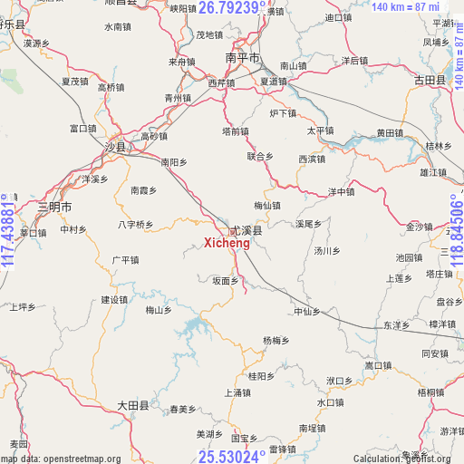
Xicheng GPS coordinates[2]
26° 9' 46.872" North, 118° 8' 30.948" East
| Map corner | latitude | longitude |
|---|---|---|
| Upper-left | 26.79239°, | 117.43881° |
| Center: | 26.16302°, | 118.14193° |
| Lower-right: | 25.53024°, | 118.84506° |
| Map W x H: | 140.3×140.3 km | = 87.2×87.2mi |
| max Lat: | 53.31946° ⇑81.7% North |
| Xicheng: | 26.16302° |
| min Lat: | ⇓18.3% South 18.22056° |
| min Long | Xicheng | max Long |
| 75.07348° | 118.14193° | 134.28917° |
| W 71.2%⇐ | ⇒28.8% E |
Elevation
Elevation of Xicheng is 177 m = 581 ft, and this is 307.8 m = 1010 ft below average elevation for this country.
| Max E: |
5622 m = 18445 ft | 48.5% |
| Avg. | 484.8 m = 1591 ft | |
| Xicheng | 177 m = 581 ft | |
Min E: |
-3 m = -10 ft | 51.5% |
See also: China elevation on elevation.city.
Geographical zone
Xicheng is located in North temperate zone (between Tropic of Cancer and the Arctic Circle). Distance of this Northern Tropic circle is 303.1 km =188.3 mi to South.| Distance of | km | miles | from Xicheng |
|---|---|---|---|
| North Pole | 7098 | 4410.5 | to North |
| Arctic Circle | 4492.1 | 2791.3 | to North |
| Tropic Cancer | 303.1 | 188.3 | to South |
| Equator | 2909.1 | 1807.6 | to South |


Nearby cities:
15 places around Xicheng: (largest is in red/bold)
• Banmian
14.5 km =9 mi,  188°
188°
• Baziqiao
29.3 km =18.2 mi,  275°
275°
• Guanqian
18.1 km =11.2 mi, 275°
• Meixian
13.7 km =8.5 mi,  50°
50°
• Nankengzai
29.1 km =18.1 mi,  297°
297°
• Nanxia
29.7 km =18.5 mi, 296°
• Nanyang
27.8 km =17.3 mi,  321°
321°
• Qitao
29.9 km =18.6 mi,  245°
245°
• Tadou
24.8 km =15.4 mi,  20°
20°
• Taixi
12.5 km =7.8 mi,  122°
122°
• Tangchuan
28.9 km =18 mi,  100°
100°
• Xinyang
23.3 km =14.5 mi,  237°
237°
• Xiwei
23.4 km =14.5 mi,  82°
82°
• Youxi Chengguanzhen
3.9 km =2.4 mi,  72°
72°
• Zhenghu
25.1 km =15.6 mi,  331°
331°
Sources, notices
• [Note1] Compared only with cities in China existing in our database
• [Src1] Map data: © OpenStreetMap contributors (CC-BY-SA)
• [Src2] Other city data from geonames.org with taken over terms of usage.
• [Src3] Geographical zone / Annual Mean Temperature by Robert A. Rohde @ Wikipedia
