Banpan geodata
Banpan (Hunan) is a seat of a fourth-order administrative division; located in China in Asia/Shanghai (GMT+8) time zone. In our database, there are 1268 cities with bigger population. Compared to other cities in China, 74.1% of cities are located further ↑North; 74.4% of cities are located further →East and 82.2% of cities have lower elevation than Banpan. Note1


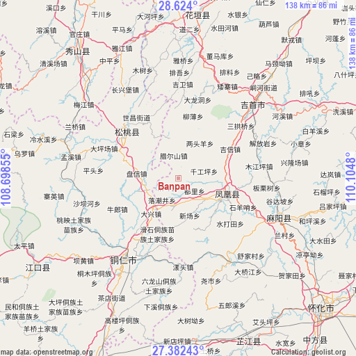
Banpan GPS coordinates[2]
28° 0' 18" North, 109° 24' 6.012" East
| Map corner | latitude | longitude |
|---|---|---|
| Upper-left | 28.624°, | 108.69855° |
| Center: | 28.005°, | 109.40167° |
| Lower-right: | 27.38243°, | 110.1048° |
| Map W x H: | 138×138.1 km | = 85.7×85.8mi |
| max Lat: | 53.31946° ⇑74.1% North |
| Banpan: | 28.005° |
| min Lat: | ⇓25.9% South 18.22056° |
| min Long | Banpan | max Long |
| 75.07348° | 109.40167° | 134.28917° |
| W 25.6%⇐ | ⇒74.4% E |
Elevation
Elevation of Banpan is 798 m = 2618 ft, and this is 313.2 m = 1028 ft above average elevation for this country.
| Max E: |
5622 m = 18445 ft | 17.8% |
| Banpan | 798 m 2618 ft | |
| Avg. | 484.8 m = 1591 ft | |
Min E: |
-3 m = -10 ft | 82.2% |
See also: China elevation on elevation.city.
Geographical zone
Banpan is located in North temperate zone (between Tropic of Cancer and the Arctic Circle). Distance of this Northern Tropic circle is 507.9 km =315.6 mi to South.| Distance of | km | miles | from Banpan |
|---|---|---|---|
| North Pole | 6893.2 | 4283.2 | to North |
| Arctic Circle | 4287.3 | 2664 | to North |
| Tropic Cancer | 507.9 | 315.6 | to South |
| Equator | 3113.9 | 1934.9 | to South |


Nearby cities:
15 places around Banpan: (largest is in red/bold)
• Changping
16.2 km =10.1 mi,  310°
310°
• Chatian
22.7 km =14.1 mi,  186°
186°
• Datian
22.3 km =13.9 mi,  50°
50°
• Fenghuang
20.9 km =13 mi,  111°
111°
• Heku
21.4 km =13.3 mi,  18°
18°
• Huoluping
18.7 km =11.6 mi,  34°
34°
• Jixin
23 km =14.3 mi,  60°
60°
• La’ershan
9 km =5.6 mi,  347°
347°
• Lianglin
17.1 km =10.6 mi, 354°
• Liangtouyang
15.9 km =9.9 mi, 31°
• Panxin
16.4 km =10.2 mi,  276°
276°
• Qiangongping
10.2 km =6.3 mi,  74°
74°
• Shanjiang
7.6 km =4.7 mi, 52°
• Tuojiang
17.3 km =10.7 mi, 108°
• Yaxi
22 km =13.7 mi, 353°
Sources, notices
• [Note1] Compared only with cities in China existing in our database
• [Src1] Map data: © OpenStreetMap contributors (CC-BY-SA)
• [Src2] Other city data from geonames.org with taken over terms of usage.
• [Src3] Geographical zone / Annual Mean Temperature by Robert A. Rohde @ Wikipedia
