Chatian geodata
Chatian (Hunan) is a populated place; located in China in Asia/Shanghai (GMT+8) time zone. With population of 1,100 people, there are 1155 cities with bigger population in this country. Compared to other cities in China, 75.2% of cities are located further ↑North; 74.6% of cities are located further →East and 76.1% of cities have lower elevation than Chatian. Note1


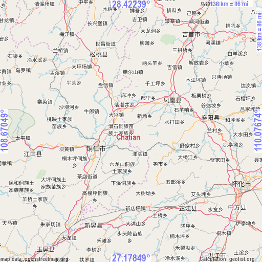
Chatian GPS coordinates[2]
27° 48' 7.992" North, 109° 22' 24.996" East
| Map corner | latitude | longitude |
|---|---|---|
| Upper-left | 28.42239°, | 108.67049° |
| Center: | 27.80222°, | 109.37361° |
| Lower-right: | 27.17849°, | 110.07674° |
| Map W x H: | 138.3×138.3 km | = 85.9×85.9mi |
| max Lat: | 53.31946° ⇑75.2% North |
| Chatian: | 27.80222° |
| min Lat: | ⇓24.8% South 18.22056° |
| min Long | Chatian | max Long |
| 75.07348° | 109.37361° | 134.28917° |
| W 25.4%⇐ | ⇒74.6% E |
Elevation
Elevation of Chatian is 549 m = 1801 ft, and this is 64.2 m = 211 ft above average elevation for this country.
| Max E: |
5622 m = 18445 ft | 23.9% |
| Chatian | 549 m 1801 ft | |
| Avg. | 484.8 m = 1591 ft | |
Min E: |
-3 m = -10 ft | 76.1% |
See also: China elevation on elevation.city.
Geographical zone
Chatian is located in North temperate zone (between Tropic of Cancer and the Arctic Circle). Distance of this Northern Tropic circle is 485.4 km =301.6 mi to South.| Distance of | km | miles | from Chatian |
|---|---|---|---|
| North Pole | 6915.7 | 4297.2 | to North |
| Arctic Circle | 4309.9 | 2678 | to North |
| Tropic Cancer | 485.4 | 301.6 | to South |
| Equator | 3091.3 | 1920.8 | to South |


Nearby cities:
15 places around Chatian: (largest is in red/bold)
• Banpan
22.7 km =14.1 mi,  6°
6°
• Chadian
34.1 km =21.2 mi,  224°
224°
• Chuandong
15 km =9.3 mi,  271°
271°
• Fenghuang
26.7 km =16.6 mi,  56°
56°
• Jinhe
24.6 km =15.3 mi,  112°
112°
• La’ershan
31.4 km =19.5 mi,  1°
1°
• Mulong
31 km =19.3 mi,  254°
254°
• Panxin
28 km =17.4 mi,  331°
331°
• Qiangongping
28.3 km =17.6 mi,  26°
26°
• Shanjiang
28.5 km =17.7 mi,  17°
17°
• Shuidatian
23.4 km =14.5 mi,  76°
76°
• Tongren
20.8 km =12.9 mi,  242°
242°
• Tuojiang
25.5 km =15.8 mi,  48°
48°
• Yangtou
13.2 km =8.2 mi,  162°
162°
• Yaoshi
23.8 km =14.8 mi,  139°
139°
Sources, notices
• [Note1] Compared only with cities in China existing in our database
• [Src1] Map data: © OpenStreetMap contributors (CC-BY-SA)
• [Src2] Other city data from geonames.org with taken over terms of usage.
• [Src3] Geographical zone / Annual Mean Temperature by Robert A. Rohde @ Wikipedia
