Wenkutu geodata
Wenkutu (Inner Mongolia) is a seat of a fourth-order administrative division; located in China in Asia/Shanghai (GMT+8) time zone. In our database, there are 1268 cities with bigger population. Compared to other cities in China, 99.4% of cities are located further ↓South; 92.1% of cities are located further ←West and 76.1% of cities have lower elevation than Wenkutu. Note1


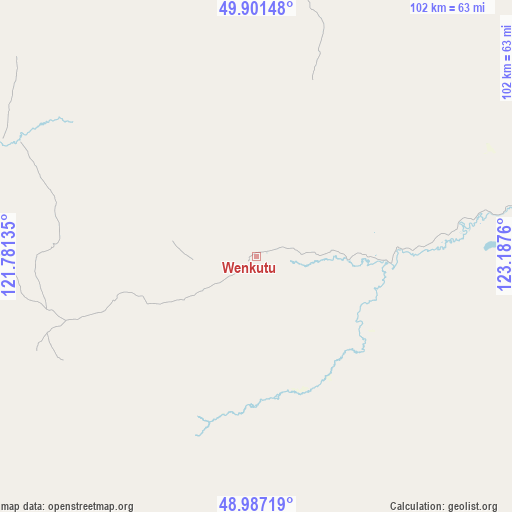
Wenkutu GPS coordinates[2]
49° 26' 47.292" North, 122° 29' 4.092" East
| Map corner | latitude | longitude |
|---|---|---|
| Upper-left | 49.90148°, | 121.78135° |
| Center: | 49.44647°, | 122.48447° |
| Lower-right: | 48.98719°, | 123.1876° |
| Map W x H: | 101.7×101.7 km | = 63.2×63.2mi |
| max Lat: | 53.31946° ⇑0.6% North |
| Wenkutu: | 49.44647° |
| min Lat: | ⇓99.4% South 18.22056° |
| min Long | Wenkutu | max Long |
| 75.07348° | 122.48447° | 134.28917° |
| W 92.1%⇐ | ⇒7.9% E |
Elevation
Elevation of Wenkutu is 550 m = 1804 ft, and this is 65.2 m = 214 ft above average elevation for this country.
| Max E: |
5622 m = 18445 ft | 23.9% |
| Wenkutu | 550 m 1804 ft | |
| Avg. | 484.8 m = 1591 ft | |
Min E: |
-3 m = -10 ft | 76.1% |
See also: China elevation on elevation.city.
Geographical zone
Wenkutu is located in North temperate zone (between Tropic of Cancer and the Arctic Circle). Distance of this North polar circle is 1903.2 km =1182.6 mi to North.| Distance of | km | miles | from Wenkutu |
|---|---|---|---|
| North Pole | 4509.1 | 2801.8 | to North |
| Arctic Circle | 1903.2 | 1182.6 | to North |
| Tropic Cancer | 2892 | 1797 | to South |
| Equator | 5497.9 | 3416.2 | to South |


Nearby cities:
15 places around Wenkutu: (largest is in red/bold)
• Boketu
87.3 km =54.2 mi,  208°
208°
• Dula’er Ewenke Minzu
116.5 km =72.4 mi,  124°
124°
• Kudu’er
90.1 km =56 mi,  316°
316°
• Kuruqi
110.9 km =68.9 mi, 118°
• Meitian
75 km =46.6 mi,  274°
274°
• Mianduhe
112.1 km =69.7 mi,  249°
249°
• Muyuan
98.5 km =61.2 mi, 267°
• Nuomin
94.6 km =58.8 mi,  107°
107°
• Sanchahe
109.4 km =68 mi,  140°
140°
• Tuozaminnutuke
90.9 km =56.5 mi,  29°
29°
• Woluohe
113 km =70.2 mi,  97°
97°
• Wunu’er
111.3 km =69.2 mi,  234°
234°
• Wu’erqihan
80.5 km =50 mi,  280°
280°
• Xiniqi
118.6 km =73.7 mi,  331°
331°
• Yuanlin
92.8 km =57.7 mi,  301°
301°
Sources, notices
• [Note1] Compared only with cities in China existing in our database
• [Src1] Map data: © OpenStreetMap contributors (CC-BY-SA)
• [Src2] Other city data from geonames.org with taken over terms of usage.
• [Src3] Geographical zone / Annual Mean Temperature by Robert A. Rohde @ Wikipedia
