Mianduhe geodata
Mianduhe (Inner Mongolia) is a seat of a fourth-order administrative division; located in China in Asia/Shanghai (GMT+8) time zone. In our database, there are 1268 cities with bigger population. Compared to other cities in China, 99.1% of cities are located further ↓South; 87.9% of cities are located further ←West and 80% of cities have lower elevation than Mianduhe. Note1


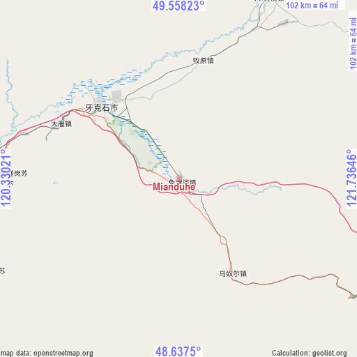
Mianduhe GPS coordinates[2]
49° 6' 0" North, 121° 1' 59.988" East
| Map corner | latitude | longitude |
|---|---|---|
| Upper-left | 49.55823°, | 120.33021° |
| Center: | 49.1°, | 121.03333° |
| Lower-right: | 48.6375°, | 121.73646° |
| Map W x H: | 102.4×102.4 km | = 63.6×63.6mi |
| max Lat: | 53.31946° ⇑0.9% North |
| Mianduhe: | 49.1° |
| min Lat: | ⇓99.1% South 18.22056° |
| min Long | Mianduhe | max Long |
| 75.07348° | 121.03333° | 134.28917° |
| W 87.9%⇐ | ⇒12.1% E |
Elevation
Elevation of Mianduhe is 697 m = 2287 ft, and this is 212.2 m = 696 ft above average elevation for this country.
| Max E: |
5622 m = 18445 ft | 20% |
| Mianduhe | 697 m 2287 ft | |
| Avg. | 484.8 m = 1591 ft | |
Min E: |
-3 m = -10 ft | 80% |
See also: China elevation on elevation.city.
Geographical zone
Mianduhe is located in North temperate zone (between Tropic of Cancer and the Arctic Circle). Distance of this North polar circle is 1941.8 km =1206.6 mi to North.| Distance of | km | miles | from Mianduhe |
|---|---|---|---|
| North Pole | 4547.7 | 2825.8 | to North |
| Arctic Circle | 1941.8 | 1206.6 | to North |
| Tropic Cancer | 2853.5 | 1773.1 | to South |
| Equator | 5459.4 | 3392.3 | to South |


Nearby cities:
15 places around Mianduhe: (largest is in red/bold)
• Baorixile
94.7 km =58.8 mi,  286°
286°
• Bayan Tuohai
94.7 km =58.8 mi,  272°
272°
• Boketu
74.5 km =46.3 mi,  120°
120°
• Chuoyuan
90.9 km =56.5 mi,  166°
166°
• Fendou
92.6 km =57.5 mi,  276°
276°
• Hake
70.7 km =43.9 mi, 277°
• Jianshe
93.2 km =57.9 mi, 280°
• Meitian
53.9 km =33.5 mi,  34°
34°
• Muyuan
34.1 km =21.2 mi,  11°
11°
• Wunu’er
30.3 km =18.8 mi,  150°
150°
• Wu’erqihan
59.1 km =36.7 mi, 25°
• Xie’ertala
84.7 km =52.6 mi, 285°
• Xingong
31.8 km =19.8 mi,  311°
311°
• Yakeshi
29.8 km =18.5 mi, 313°
• Yuanlin
91 km =56.5 mi,  16°
16°
Sources, notices
• [Note1] Compared only with cities in China existing in our database
• [Src1] Map data: © OpenStreetMap contributors (CC-BY-SA)
• [Src2] Other city data from geonames.org with taken over terms of usage.
• [Src3] Geographical zone / Annual Mean Temperature by Robert A. Rohde @ Wikipedia
