Huanren geodata
Huanren (Liaoning) is a populated place; located in China in Asia/Shanghai (GMT+8) time zone. With population of 66,147 people, there are 651 cities with bigger population in this country. Compared to other cities in China, 89.7% of cities are located further ↓South; 94.9% of cities are located further ←West and 60.9% of cities have lower elevation than Huanren. Note1


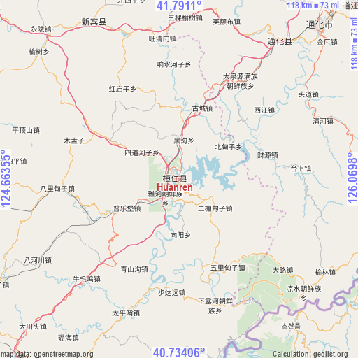
Huanren GPS coordinates[2]
41° 15' 52.992" North, 125° 22' 0.012" East
| Map corner | latitude | longitude |
|---|---|---|
| Upper-left | 41.7911°, | 124.66355° |
| Center: | 41.26472°, | 125.36667° |
| Lower-right: | 40.73406°, | 126.0698° |
| Map W x H: | 117.5×117.5 km | = 73×73mi |
| max Lat: | 53.31946° ⇑10.3% North |
| Huanren: | 41.26472° |
| min Lat: | ⇓89.7% South 18.22056° |
| min Long | Huanren | max Long |
| 75.07348° | 125.36667° | 134.28917° |
| W 94.9%⇐ | ⇒5.1% E |
Elevation
Elevation of Huanren is 269 m = 883 ft, and this is 215.8 m = 708 ft below average elevation for this country.
| Max E: |
5622 m = 18445 ft | 39.1% |
| Avg. | 484.8 m = 1591 ft | |
| Huanren | 269 m = 883 ft | |
Min E: |
-3 m = -10 ft | 60.9% |
See also: Huanren elevation on elevation.city.
Geographical zone
Huanren is located in North temperate zone (between Tropic of Cancer and the Arctic Circle). Distance of this Northern Tropic circle is 1982.3 km =1231.7 mi to South.| Distance of | km | miles | from Huanren |
|---|---|---|---|
| North Pole | 5418.9 | 3367.1 | to North |
| Arctic Circle | 2813 | 1747.9 | to North |
| Tropic Cancer | 1982.3 | 1231.7 | to South |
| Equator | 4588.2 | 2851 | to South |


Nearby cities:
15 places around Huanren: (largest is in red/bold)
• Balidianzi
39.9 km =24.8 mi,  266°
266°
• Budayuan
36.9 km =22.9 mi,  184°
184°
• Caiyuan
30 km =18.6 mi,  74°
74°
• Dachuan
34.6 km =21.5 mi,  24°
24°
• Daduling
47.6 km =29.6 mi,  34°
34°
• Dalu
45.2 km =28.1 mi,  131°
131°
• Daquanyuan
37.8 km =23.5 mi, 31°
• Huadian
34.5 km =21.4 mi,  83°
83°
• Jiangdianzi
36.8 km =22.9 mi,  51°
51°
• Muyuzi
36.8 km =22.9 mi,  290°
290°
• Pingdingshan
53.1 km =33 mi, 288°
• Qinghe
50.7 km =31.5 mi, 67°
• Sankeyushu
53.1 km =33 mi,  2°
2°
• Taishang
39.9 km =24.8 mi, 84°
• Toudao
50.4 km =31.3 mi,  56°
56°
Sources, notices
• [Note1] Compared only with cities in China existing in our database
• [Src1] Map data: © OpenStreetMap contributors (CC-BY-SA)
• [Src2] Other city data from geonames.org with taken over terms of usage.
• [Src3] Geographical zone / Annual Mean Temperature by Robert A. Rohde @ Wikipedia
