Huangbai geodata
Huangbai (Jilin) is a seat of a fourth-order administrative division; located in China in Asia/Shanghai (GMT+8) time zone. In our database, there are 1268 cities with bigger population. Compared to other cities in China, 89.7% of cities are located further ↓South; 95.9% of cities are located further ←West and 54.6% of cities have lower elevation than Huangbai. Note1


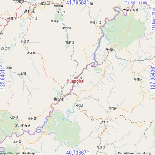
Huangbai GPS coordinates[2]
41° 16' 9.444" North, 126° 21' 4.428" East
| Map corner | latitude | longitude |
|---|---|---|
| Upper-left | 41.79563°, | 125.64811° |
| Center: | 41.26929°, | 126.35123° |
| Lower-right: | 40.73867°, | 127.05436° |
| Map W x H: | 117.5×117.5 km | = 73×73mi |
| max Lat: | 53.31946° ⇑10.3% North |
| Huangbai: | 41.26929° |
| min Lat: | ⇓89.7% South 18.22056° |
| min Long | Huangbai | max Long |
| 75.07348° | 126.35123° | 134.28917° |
| W 95.9%⇐ | ⇒4.1% E |
Elevation
Elevation of Huangbai is 203 m = 666 ft, and this is 281.8 m = 925 ft below average elevation for this country.
| Max E: |
5622 m = 18445 ft | 45.4% |
| Avg. | 484.8 m = 1591 ft | |
| Huangbai | 203 m = 666 ft | |
Min E: |
-3 m = -10 ft | 54.6% |
See also: China elevation on elevation.city.
Geographical zone
Huangbai is located in North temperate zone (between Tropic of Cancer and the Arctic Circle). Distance of this Northern Tropic circle is 1982.8 km =1232.1 mi to South.| Distance of | km | miles | from Huangbai |
|---|---|---|---|
| North Pole | 5418.3 | 3366.8 | to North |
| Arctic Circle | 2812.5 | 1747.6 | to North |
| Tropic Cancer | 1982.8 | 1232.1 | to South |
| Equator | 4588.7 | 2851.3 | to South |


Nearby cities:
15 places around Huangbai: (largest is in red/bold)
• Caiyuan
53.8 km =33.4 mi,  278°
278°
• Donglai
45.9 km =28.5 mi,  337°
337°
• Gongyi
27.3 km =17 mi,  347°
347°
• Huadian
48.1 km =29.9 mi,  273°
273°
• Ji’an
21.8 km =13.5 mi,  222°
222°
• Liudaogou
38.6 km =24 mi, 347°
• Maxian
25.1 km =15.6 mi, 221°
• Minzhu
19.7 km =12.2 mi, 219°
• Qidaogou
31.2 km =19.4 mi, 352°
• Qinghe
40 km =24.9 mi,  298°
298°
• Qingshi
16.8 km =10.4 mi,  53°
53°
• Sandaogou
44.1 km =27.4 mi,  17°
17°
• Taishang
42.7 km =26.5 mi, 274°
• Toudao
48.3 km =30 mi, 304°
• Yulin
46.3 km =28.8 mi,  228°
228°
Sources, notices
• [Note1] Compared only with cities in China existing in our database
• [Src1] Map data: © OpenStreetMap contributors (CC-BY-SA)
• [Src2] Other city data from geonames.org with taken over terms of usage.
• [Src3] Geographical zone / Annual Mean Temperature by Robert A. Rohde @ Wikipedia
