Shiren geodata
Shiren (Heilongjiang) is a seat of a fourth-order administrative division; located in China in Asia/Shanghai (GMT+8) time zone. In our database, there are 1268 cities with bigger population. Compared to other cities in China, 95.5% of cities are located further ↓South; 96.5% of cities are located further ←West and 51.9% of cities have lower elevation than Shiren. Note1


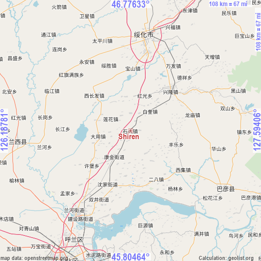
Shiren GPS coordinates[2]
46° 17' 33.504" North, 126° 53' 27.348" East
| Map corner | latitude | longitude |
|---|---|---|
| Upper-left | 46.77633°, | 126.18781° |
| Center: | 46.29264°, | 126.89093° |
| Lower-right: | 45.80464°, | 127.59406° |
| Map W x H: | 108×108 km | = 67.1×67.1mi |
| max Lat: | 53.31946° ⇑4.5% North |
| Shiren: | 46.29264° |
| min Lat: | ⇓95.5% South 18.22056° |
| min Long | Shiren | max Long |
| 75.07348° | 126.89093° | 134.28917° |
| W 96.5%⇐ | ⇒3.5% E |
Elevation
Elevation of Shiren is 180 m = 591 ft, and this is 304.8 m = 1000 ft below average elevation for this country.
| Max E: |
5622 m = 18445 ft | 48.1% |
| Avg. | 484.8 m = 1591 ft | |
| Shiren | 180 m = 591 ft | |
Min E: |
-3 m = -10 ft | 51.9% |
See also: China elevation on elevation.city.
Geographical zone
Shiren is located in North temperate zone (between Tropic of Cancer and the Arctic Circle). Distance of this North polar circle is 2253.9 km =1400.5 mi to North.| Distance of | km | miles | from Shiren |
|---|---|---|---|
| North Pole | 4859.8 | 3019.7 | to North |
| Arctic Circle | 2253.9 | 1400.5 | to North |
| Tropic Cancer | 2541.3 | 1579.1 | to South |
| Equator | 5147.3 | 3198.4 | to South |


Nearby cities:
15 places around Shiren: (largest is in red/bold)
• Baikui
11.4 km =7.1 mi,  45°
45°
• Baoshan
25.9 km =16.1 mi,  2°
2°
• Dayong
13.5 km =8.4 mi,  265°
265°
• Erba
22.7 km =14.1 mi,  151°
151°
• Fangtai
22.9 km =14.2 mi,  171°
171°
• Fengle
19.8 km =12.3 mi,  106°
106°
• Hongguang
15.7 km =9.8 mi,  22°
22°
• Kangjin
12.5 km =7.8 mi,  212°
212°
• Lianhua
9.8 km =6.1 mi,  299°
299°
• Longmiao
26.6 km =16.5 mi,  75°
75°
• Shenjia
24.2 km =15 mi,  203°
203°
• Xichangfa
21.1 km =13.1 mi,  313°
313°
• Xiji
26.8 km =16.7 mi,  126°
126°
• Xinglong
23 km =14.3 mi,  44°
44°
• Xubao
21.8 km =13.5 mi,  228°
228°
Sources, notices
• [Note1] Compared only with cities in China existing in our database
• [Src1] Map data: © OpenStreetMap contributors (CC-BY-SA)
• [Src2] Other city data from geonames.org with taken over terms of usage.
• [Src3] Geographical zone / Annual Mean Temperature by Robert A. Rohde @ Wikipedia
