Taoyuan geodata
Taoyuan (Sichuan) is a seat of a fourth-order administrative division; located in China in Asia/Shanghai (GMT+8) time zone. In our database, there are 1268 cities with bigger population. Compared to other cities in China, 64.7% of cities are located further ↓South; 84.3% of cities are located further →East and 85.8% of cities have lower elevation than Taoyuan. Note1


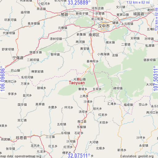
Taoyuan GPS coordinates[2]
32° 40' 8.256" North, 106° 47' 59.928" East
| Map corner | latitude | longitude |
|---|---|---|
| Upper-left | 33.25889°, | 106.09686° |
| Center: | 32.66896°, | 106.79998° |
| Lower-right: | 32.07511°, | 107.50311° |
| Map W x H: | 131.6×131.6 km | = 81.8×81.8mi |
| max Lat: | 53.31946° ⇑35.3% North |
| Taoyuan: | 32.66896° |
| min Lat: | ⇓64.7% South 18.22056° |
| min Long | Taoyuan | max Long |
| 75.07348° | 106.79998° | 134.28917° |
| W 15.7%⇐ | ⇒84.3% E |
Elevation
Elevation of Taoyuan is 1031 m = 3383 ft, and this is 546.2 m = 1792 ft above average elevation for this country.
| Max E: |
5622 m = 18445 ft | 14.2% |
| Taoyuan | 1031 m 3383 ft | |
| Avg. | 484.8 m = 1591 ft | |
Min E: |
-3 m = -10 ft | 85.8% |
See also: China elevation on elevation.city.
Geographical zone
Taoyuan is located in North temperate zone (between Tropic of Cancer and the Arctic Circle). Distance of this Northern Tropic circle is 1026.5 km =637.8 mi to South.| Distance of | km | miles | from Taoyuan |
|---|---|---|---|
| North Pole | 6374.6 | 3961 | to North |
| Arctic Circle | 3768.7 | 2341.8 | to North |
| Tropic Cancer | 1026.5 | 637.8 | to South |
| Equator | 3632.4 | 2257.1 | to South |


Nearby cities:
15 places around Taoyuan: (largest is in red/bold)
• Ganchang
31.6 km =19.6 mi,  158°
158°
• Gaojialing
36.7 km =22.8 mi,  36°
36°
• Guanba
16.9 km =10.5 mi,  118°
118°
• Hongmiao
24.2 km =15 mi,  26°
26°
• Nanjiang
35.2 km =21.9 mi,  175°
175°
• Nianpan
34 km =21.1 mi,  172°
172°
• Qiaoting
24.5 km =15.2 mi, 157°
• Qingshu
31.3 km =19.4 mi,  17°
17°
• Qishuba
37.5 km =23.3 mi,  328°
328°
• Shangliang
14.5 km =9 mi, 163°
• Xiaohemiao
34.6 km =21.5 mi,  338°
338°
• Xinji
37.8 km =23.5 mi,  2°
2°
• Xishenba
18.8 km =11.7 mi, 36°
• Yangba
21.7 km =13.5 mi, 184°
• Zhaipo
8.6 km =5.3 mi, 159°
Sources, notices
• [Note1] Compared only with cities in China existing in our database
• [Src1] Map data: © OpenStreetMap contributors (CC-BY-SA)
• [Src2] Other city data from geonames.org with taken over terms of usage.
• [Src3] Geographical zone / Annual Mean Temperature by Robert A. Rohde @ Wikipedia
