Hongmiao geodata
Hongmiao (Shaanxi) is a seat of a fourth-order administrative division; located in China in Asia/Shanghai (GMT+8) time zone. In our database, there are 1268 cities with bigger population. Compared to other cities in China, 65.4% of cities are located further ↓South; 83.9% of cities are located further →East and 78.6% of cities have lower elevation than Hongmiao. Note1


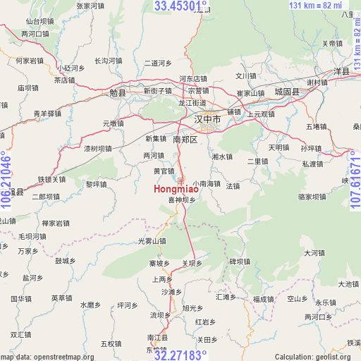
Hongmiao GPS coordinates[2]
32° 51' 51.804" North, 106° 54' 48.888" East
| Map corner | latitude | longitude |
|---|---|---|
| Upper-left | 33.45301°, | 106.21046° |
| Center: | 32.86439°, | 106.91358° |
| Lower-right: | 32.27183°, | 107.61671° |
| Map W x H: | 131.3×131.3 km | = 81.6×81.6mi |
| max Lat: | 53.31946° ⇑34.6% North |
| Hongmiao: | 32.86439° |
| min Lat: | ⇓65.4% South 18.22056° |
| min Long | Hongmiao | max Long |
| 75.07348° | 106.91358° | 134.28917° |
| W 16.1%⇐ | ⇒83.9% E |
Elevation
Elevation of Hongmiao is 639 m = 2096 ft, and this is 154.2 m = 506 ft above average elevation for this country.
| Max E: |
5622 m = 18445 ft | 21.4% |
| Hongmiao | 639 m 2096 ft | |
| Avg. | 484.8 m = 1591 ft | |
Min E: |
-3 m = -10 ft | 78.6% |
See also: China elevation on elevation.city.
Geographical zone
Hongmiao is located in North temperate zone (between Tropic of Cancer and the Arctic Circle). Distance of this Northern Tropic circle is 1048.3 km =651.4 mi to South.| Distance of | km | miles | from Hongmiao |
|---|---|---|---|
| North Pole | 6352.9 | 3947.5 | to North |
| Arctic Circle | 3747 | 2328.3 | to North |
| Tropic Cancer | 1048.3 | 651.4 | to South |
| Equator | 3654.2 | 2270.6 | to South |


Nearby cities:
15 places around Hongmiao: (largest is in red/bold)
• Dahekan
22.7 km =14.1 mi,  30°
30°
• Gaojialing
13.6 km =8.5 mi,  55°
55°
• Gaotai
18 km =11.2 mi,  342°
342°
• Guotan
19.5 km =12.1 mi,  5°
5°
• Hujiaying
20.5 km =12.7 mi, 30°
• Liangshan
24.8 km =15.4 mi, 6°
• Nanzheng Chengguanzhen
15.7 km =9.8 mi, 7°
• Qingshu
8.1 km =5 mi,  353°
353°
• Renshui
21.3 km =13.2 mi,  333°
333°
• Taoyuan
24.2 km =15 mi,  206°
206°
• Xiangshui
17.8 km =11.1 mi, 60°
• Xieshui
15.6 km =9.7 mi,  358°
358°
• Xinji
18.2 km =11.3 mi, 331°
• Xishenba
6.6 km =4.1 mi,  174°
174°
• Yangchun
18.8 km =11.7 mi, 356°
Sources, notices
• [Note1] Compared only with cities in China existing in our database
• [Src1] Map data: © OpenStreetMap contributors (CC-BY-SA)
• [Src2] Other city data from geonames.org with taken over terms of usage.
• [Src3] Geographical zone / Annual Mean Temperature by Robert A. Rohde @ Wikipedia
