Dongshangguan geodata
Dongshangguan (Shaanxi) is a seat of a fourth-order administrative division; located in China in Asia/Shanghai (GMT+8) time zone. In our database, there are 1268 cities with bigger population. Compared to other cities in China, 73.9% of cities are located further ↓South; 75.3% of cities are located further →East and 71.2% of cities have lower elevation than Dongshangguan. Note1


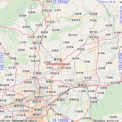
Dongshangguan GPS coordinates[2]
34° 43' 47.424" North, 109° 12' 59.148" East
| Map corner | latitude | longitude |
|---|---|---|
| Upper-left | 35.30568°, | 108.51331° |
| Center: | 34.72984°, | 109.21643° |
| Lower-right: | 34.14996°, | 109.91956° |
| Map W x H: | 128.5×128.5 km | = 79.8×79.8mi |
| max Lat: | 53.31946° ⇑26.1% North |
| Dongshangguan: | 34.72984° |
| min Lat: | ⇓73.9% South 18.22056° |
| min Long | Dongshangguan | max Long |
| 75.07348° | 109.21643° | 134.28917° |
| W 24.7%⇐ | ⇒75.3% E |
Elevation
Elevation of Dongshangguan is 435 m = 1427 ft, and this is 49.8 m = 163 ft below average elevation for this country.
| Max E: |
5622 m = 18445 ft | 28.8% |
| Avg. | 484.8 m = 1591 ft | |
| Dongshangguan | 435 m = 1427 ft | |
Min E: |
-3 m = -10 ft | 71.2% |
See also: China elevation on elevation.city.
Geographical zone
Dongshangguan is located in North temperate zone (between Tropic of Cancer and the Arctic Circle). Distance of this Northern Tropic circle is 1255.7 km =780.3 mi to South.| Distance of | km | miles | from Dongshangguan |
|---|---|---|---|
| North Pole | 6145.5 | 3818.6 | to North |
| Arctic Circle | 3539.6 | 2199.4 | to North |
| Tropic Cancer | 1255.7 | 780.3 | to South |
| Equator | 3861.6 | 2399.5 | to South |


Nearby cities:
15 places around Dongshangguan: (largest is in red/bold)
• Beitun
12.5 km =7.8 mi,  173°
173°
• Dacheng
10.7 km =6.6 mi,  224°
224°
• Doucun
3.9 km =2.4 mi,  301°
301°
• Gongli
13.1 km =8.1 mi,  329°
329°
• Huazhu
6.5 km =4 mi,  343°
343°
• Liugu
5.8 km =3.6 mi,  74°
74°
• Liuji
9.5 km =5.9 mi,  59°
59°
• Nanshe
10.7 km =6.6 mi, 296°
• Wangliao
8.8 km =5.5 mi,  9°
9°
• Wutun
12.5 km =7.8 mi,  144°
144°
• Xinxing
8.8 km =5.5 mi, 142°
• Xumu
10 km =6.2 mi,  246°
246°
• Xuyang
14.1 km =8.8 mi,  208°
208°
• Yanliang
7.9 km =4.9 mi, 171°
• Zhenxing
7.1 km =4.4 mi,  197°
197°
Sources, notices
• [Note1] Compared only with cities in China existing in our database
• [Src1] Map data: © OpenStreetMap contributors (CC-BY-SA)
• [Src2] Other city data from geonames.org with taken over terms of usage.
• [Src3] Geographical zone / Annual Mean Temperature by Robert A. Rohde @ Wikipedia
