Wangba geodata
Wangba (Gansu) is a seat of a fourth-order administrative division; located in China in Asia/Shanghai (GMT+8) time zone. In our database, there are 1268 cities with bigger population. Compared to other cities in China, 68.9% of cities are located further ↓South; 89.1% of cities are located further →East and 91.1% of cities have lower elevation than Wangba. Note1


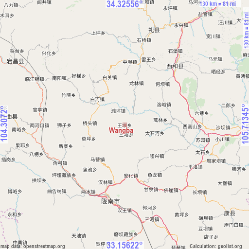
Wangba GPS coordinates[2]
33° 44' 34.368" North, 105° 0' 37.152" East
| Map corner | latitude | longitude |
|---|---|---|
| Upper-left | 34.32556°, | 104.3072° |
| Center: | 33.74288°, | 105.01032° |
| Lower-right: | 33.15622°, | 105.71345° |
| Map W x H: | 130×130 km | = 80.8×80.8mi |
| max Lat: | 53.31946° ⇑31.1% North |
| Wangba: | 33.74288° |
| min Lat: | ⇓68.9% South 18.22056° |
| min Long | Wangba | max Long |
| 75.07348° | 105.01032° | 134.28917° |
| W 10.9%⇐ | ⇒89.1% E |
Elevation
Elevation of Wangba is 1469 m = 4820 ft, and this is 984.2 m = 3229 ft above average elevation for this country.
| Max E: |
5622 m = 18445 ft | 8.9% |
| Wangba | 1469 m 4820 ft | |
| Avg. | 484.8 m = 1591 ft | |
Min E: |
-3 m = -10 ft | 91.1% |
See also: China elevation on elevation.city.
Geographical zone
Wangba is located in North temperate zone (between Tropic of Cancer and the Arctic Circle). Distance of this Northern Tropic circle is 1145.9 km =712 mi to South.| Distance of | km | miles | from Wangba |
|---|---|---|---|
| North Pole | 6255.2 | 3886.8 | to North |
| Arctic Circle | 3649.3 | 2267.6 | to North |
| Tropic Cancer | 1145.9 | 712 | to South |
| Equator | 3751.9 | 2331.3 | to South |


Nearby cities:
15 places around Wangba: (largest is in red/bold)
• Baihe
20.3 km =12.6 mi,  313°
313°
• Caoping
20 km =12.4 mi,  249°
249°
• Chiba
23.7 km =14.7 mi,  243°
243°
• Haolin
19 km =11.8 mi,  81°
81°
• Hekou
19.8 km =12.3 mi,  41°
41°
• Jinchang
17.5 km =10.9 mi,  216°
216°
• Leiba
5.9 km =3.7 mi,  25°
25°
• Longlin
22.8 km =14.2 mi,  13°
13°
• Longxing
23.3 km =14.5 mi,  133°
133°
• Luoyu
23.1 km =14.4 mi,  61°
61°
• Maying
22.3 km =13.9 mi, 223°
• Qiaotou
18.2 km =11.3 mi,  273°
273°
• Sanyu
4.9 km =3 mi,  169°
169°
• Taishihe
16.3 km =10.1 mi,  104°
104°
• Tanping
8.3 km =5.2 mi,  337°
337°
Sources, notices
• [Note1] Compared only with cities in China existing in our database
• [Src1] Map data: © OpenStreetMap contributors (CC-BY-SA)
• [Src2] Other city data from geonames.org with taken over terms of usage.
• [Src3] Geographical zone / Annual Mean Temperature by Robert A. Rohde @ Wikipedia
