Taishihe geodata
Taishihe (Gansu) is a seat of a fourth-order administrative division; located in China in Asia/Shanghai (GMT+8) time zone. In our database, there are 1268 cities with bigger population. Compared to other cities in China, 68.8% of cities are located further ↓South; 88.8% of cities are located further →East and 87.5% of cities have lower elevation than Taishihe. Note1


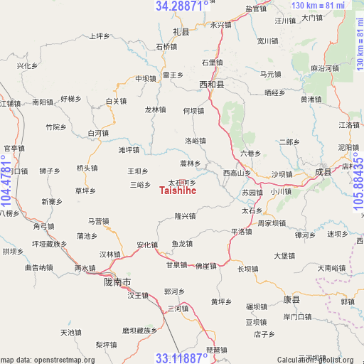
Taishihe GPS coordinates[2]
33° 42' 20.808" North, 105° 10' 52.392" East
| Map corner | latitude | longitude |
|---|---|---|
| Upper-left | 34.28871°, | 104.4781° |
| Center: | 33.70578°, | 105.18122° |
| Lower-right: | 33.11887°, | 105.88435° |
| Map W x H: | 130.1×130.1 km | = 80.8×80.8mi |
| max Lat: | 53.31946° ⇑31.2% North |
| Taishihe: | 33.70578° |
| min Lat: | ⇓68.8% South 18.22056° |
| min Long | Taishihe | max Long |
| 75.07348° | 105.18122° | 134.28917° |
| W 11.2%⇐ | ⇒88.8% E |
Elevation
Elevation of Taishihe is 1150 m = 3773 ft, and this is 665.2 m = 2182 ft above average elevation for this country.
| Max E: |
5622 m = 18445 ft | 12.5% |
| Taishihe | 1150 m 3773 ft | |
| Avg. | 484.8 m = 1591 ft | |
Min E: |
-3 m = -10 ft | 87.5% |
See also: China elevation on elevation.city.
Geographical zone
Taishihe is located in North temperate zone (between Tropic of Cancer and the Arctic Circle). Distance of this Northern Tropic circle is 1141.8 km =709.5 mi to South.| Distance of | km | miles | from Taishihe |
|---|---|---|---|
| North Pole | 6259.3 | 3889.3 | to North |
| Arctic Circle | 3653.4 | 2270.1 | to North |
| Tropic Cancer | 1141.8 | 709.5 | to South |
| Equator | 3747.7 | 2328.7 | to South |


Nearby cities:
15 places around Taishihe: (largest is in red/bold)
• Daqiao
10.1 km =6.3 mi,  63°
63°
• Haolin
7.5 km =4.7 mi,  23°
23°
• Hekou
19 km =11.8 mi,  352°
352°
• Leiba
16.3 km =10.1 mi,  305°
305°
• Longba
13.8 km =8.6 mi,  130°
130°
• Longxing
12 km =7.5 mi,  174°
174°
• Luoyu
15.7 km =9.8 mi, 17°
• Sanyu
14.9 km =9.3 mi,  267°
267°
• Shixia
20.9 km =13 mi,  65°
65°
• Suyuan
25.4 km =15.8 mi,  98°
98°
• Tanping
22.3 km =13.9 mi,  301°
301°
• Wangba
16.3 km =10.1 mi,  284°
284°
• Xigaoshan
19.4 km =12.1 mi,  80°
80°
• Xiji
12.2 km =7.6 mi,  46°
46°
• Yulong
21.8 km =13.5 mi,  180°
180°
Sources, notices
• [Note1] Compared only with cities in China existing in our database
• [Src1] Map data: © OpenStreetMap contributors (CC-BY-SA)
• [Src2] Other city data from geonames.org with taken over terms of usage.
• [Src3] Geographical zone / Annual Mean Temperature by Robert A. Rohde @ Wikipedia
