Chanhe geodata
Chanhe (Gansu) is a seat of a fourth-order administrative division; located in China in Asia/Shanghai (GMT+8) time zone. In our database, there are 1268 cities with bigger population. Compared to other cities in China, 68.2% of cities are located further ↓South; 88% of cities are located further →East and 83.4% of cities have lower elevation than Chanhe. Note1


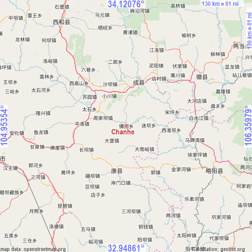
Chanhe GPS coordinates[2]
33° 32' 12.012" North, 105° 39' 23.976" East
| Map corner | latitude | longitude |
|---|---|---|
| Upper-left | 34.12076°, | 104.95354° |
| Center: | 33.53667°, | 105.65666° |
| Lower-right: | 32.94861°, | 106.35979° |
| Map W x H: | 130.3×130.3 km | = 81×81mi |
| max Lat: | 53.31946° ⇑31.8% North |
| Chanhe: | 33.53667° |
| min Lat: | ⇓68.2% South 18.22056° |
| min Long | Chanhe | max Long |
| 75.07348° | 105.65666° | 134.28917° |
| W 12%⇐ | ⇒88% E |
Elevation
Elevation of Chanhe is 875 m = 2871 ft, and this is 390.2 m = 1280 ft above average elevation for this country.
| Max E: |
5622 m = 18445 ft | 16.6% |
| Chanhe | 875 m 2871 ft | |
| Avg. | 484.8 m = 1591 ft | |
Min E: |
-3 m = -10 ft | 83.4% |
See also: China elevation on elevation.city.
Geographical zone
Chanhe is located in North temperate zone (between Tropic of Cancer and the Arctic Circle). Distance of this Northern Tropic circle is 1123 km =697.8 mi to South.| Distance of | km | miles | from Chanhe |
|---|---|---|---|
| North Pole | 6278.1 | 3901 | to North |
| Arctic Circle | 3672.2 | 2281.8 | to North |
| Tropic Cancer | 1123 | 697.8 | to South |
| Equator | 3728.9 | 2317 | to South |


Nearby cities:
15 places around Chanhe: (largest is in red/bold)
• Chanba
10.7 km =6.6 mi,  61°
61°
• Dabao
10.4 km =6.5 mi,  225°
225°
• Dananyu
15.1 km =9.4 mi,  141°
141°
• Daping
13.9 km =8.6 mi,  25°
25°
• Douping
17.9 km =11.1 mi,  262°
262°
• Gongji
15.5 km =9.6 mi, 231°
• Huangchen
7.3 km =4.5 mi,  315°
315°
• Huaya
13.4 km =8.3 mi,  358°
358°
• Lishan
8.3 km =5.2 mi,  280°
280°
• Miba
11.6 km =7.2 mi,  86°
86°
• Sanguan
20.7 km =12.9 mi,  193°
193°
• Sitai
7.1 km =4.4 mi,  217°
217°
• Suochi
18 km =11.2 mi,  312°
312°
• Xiaochuan
18.3 km =11.4 mi,  331°
331°
• Yuntai
10.1 km =6.3 mi,  175°
175°
Sources, notices
• [Note1] Compared only with cities in China existing in our database
• [Src1] Map data: © OpenStreetMap contributors (CC-BY-SA)
• [Src2] Other city data from geonames.org with taken over terms of usage.
• [Src3] Geographical zone / Annual Mean Temperature by Robert A. Rohde @ Wikipedia
