Yuanqian geodata
Yuanqian (Jiangxi) is a seat of a fourth-order administrative division; located in China in Asia/Shanghai (GMT+8) time zone. In our database, there are 1268 cities with bigger population. Compared to other cities in China, 79.4% of cities are located further ↑North; 55.2% of cities are located further ←West and 61.5% of cities have higher elevation than Yuanqian. Note1


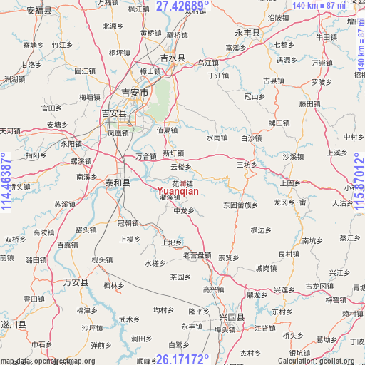
Yuanqian GPS coordinates[2]
26° 48' 3.744" North, 115° 10' 1.164" East
| Map corner | latitude | longitude |
|---|---|---|
| Upper-left | 27.42689°, | 114.46387° |
| Center: | 26.80104°, | 115.16699° |
| Lower-right: | 26.17172°, | 115.87012° |
| Map W x H: | 139.6×139.6 km | = 86.7×86.7mi |
| max Lat: | 53.31946° ⇑79.4% North |
| Yuanqian: | 26.80104° |
| min Lat: | ⇓20.6% South 18.22056° |
| min Long | Yuanqian | max Long |
| 75.07348° | 115.16699° | 134.28917° |
| W 55.2%⇐ | ⇒44.8% E |
Elevation
Elevation of Yuanqian is 90 m = 295 ft, and this is 394.8 m = 1295 ft below average elevation for this country.
| Max E: |
5622 m = 18445 ft | 61.5% |
| Avg. | 484.8 m = 1591 ft | |
| Yuanqian | 90 m = 295 ft | |
Min E: |
-3 m = -10 ft | 38.5% |
See also: China elevation on elevation.city.
Geographical zone
Yuanqian is located in North temperate zone (between Tropic of Cancer and the Arctic Circle). Distance of this Northern Tropic circle is 374.1 km =232.5 mi to South.| Distance of | km | miles | from Yuanqian |
|---|---|---|---|
| North Pole | 7027.1 | 4366.4 | to North |
| Arctic Circle | 4421.2 | 2747.2 | to North |
| Tropic Cancer | 374.1 | 232.5 | to South |
| Equator | 2980 | 1851.7 | to South |


Nearby cities:
15 places around Yuanqian: (largest is in red/bold)
• Chengjiang
26.5 km =16.5 mi,  270°
270°
• Donggu
23.8 km =14.8 mi,  110°
110°
• Futan
21.2 km =13.2 mi,  355°
355°
• Futian
8.5 km =5.3 mi,  73°
73°
• Guanxi
7 km =4.3 mi,  219°
219°
• Laoyingpan
27.3 km =17 mi,  169°
169°
• Sanfang
25.7 km =16 mi, 72°
• Shangyi
23 km =14.3 mi,  190°
190°
• Shuinan
21.9 km =13.6 mi,  37°
37°
• Wanhe
17.4 km =10.8 mi,  307°
307°
• Wenbei
16.6 km =10.3 mi,  341°
341°
• Xiaolong
15.9 km =9.9 mi,  146°
146°
• Xinxu
12.1 km =7.5 mi, 344°
• Zhixia
20.9 km =13 mi, 344°
• Zhonglong
10.4 km =6.5 mi,  178°
178°
Sources, notices
• [Note1] Compared only with cities in China existing in our database
• [Src1] Map data: © OpenStreetMap contributors (CC-BY-SA)
• [Src2] Other city data from geonames.org with taken over terms of usage.
• [Src3] Geographical zone / Annual Mean Temperature by Robert A. Rohde @ Wikipedia
