Fenghuangcheng geodata
Fenghuangcheng (Shanxi) is a seat of a fourth-order administrative division; located in China in Asia/Shanghai (GMT+8) time zone. In our database, there are 1268 cities with bigger population. Compared to other cities in China, 85.5% of cities are located further ↓South; 61.8% of cities are located further →East and 91.6% of cities have lower elevation than Fenghuangcheng. Note1


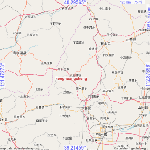
Fenghuangcheng GPS coordinates[2]
39° 45' 26.064" North, 112° 10' 33.06" East
| Map corner | latitude | longitude |
|---|---|---|
| Upper-left | 40.29565°, | 111.47273° |
| Center: | 39.75724°, | 112.17585° |
| Lower-right: | 39.21459°, | 112.87898° |
| Map W x H: | 120.2×120.2 km | = 74.7×74.7mi |
| max Lat: | 53.31946° ⇑14.5% North |
| Fenghuangcheng: | 39.75724° |
| min Lat: | ⇓85.5% South 18.22056° |
| min Long | Fenghuangcheng | max Long |
| 75.07348° | 112.17585° | 134.28917° |
| W 38.2%⇐ | ⇒61.8% E |
Elevation
Elevation of Fenghuangcheng is 1535 m = 5036 ft, and this is 1050.2 m = 3446 ft above average elevation for this country.
| Max E: |
5622 m = 18445 ft | 8.4% |
| Fenghuangcheng | 1535 m 5036 ft | |
| Avg. | 484.8 m = 1591 ft | |
Min E: |
-3 m = -10 ft | 91.6% |
See also: China elevation on elevation.city.
Geographical zone
Fenghuangcheng is located in North temperate zone (between Tropic of Cancer and the Arctic Circle). Distance of this Northern Tropic circle is 1814.7 km =1127.6 mi to South.| Distance of | km | miles | from Fenghuangcheng |
|---|---|---|---|
| North Pole | 5586.5 | 3471.3 | to North |
| Arctic Circle | 2980.6 | 1852.1 | to North |
| Tropic Cancer | 1814.7 | 1127.6 | to South |
| Equator | 4420.6 | 2746.8 | to South |


Nearby cities:
15 places around Fenghuangcheng: (largest is in red/bold)
• Beibao
31.3 km =19.4 mi,  247°
247°
• Dingjiayao
26.4 km =16.4 mi,  6°
6°
• Gaojiabu
23.4 km =14.5 mi,  80°
80°
• Hougaoshizhuang
11.3 km =7 mi,  313°
313°
• Jingping
28 km =17.4 mi,  160°
160°
• Jiucaizhuang
25.2 km =15.7 mi,  291°
291°
• Pendiqing
25.2 km =15.7 mi,  324°
324°
• Shuangnian
15 km =9.3 mi,  205°
205°
• Weiyuan
25.5 km =15.8 mi,  33°
33°
• Wumaying
29.3 km =18.2 mi,  115°
115°
• Xiangyangpu
22.4 km =13.9 mi,  137°
137°
• Xiashuitou
26.8 km =16.7 mi,  197°
197°
• Xishuijie
11.5 km =7.1 mi,  154°
154°
• Yuling
31.2 km =19.4 mi, 135°
• Zuhu
12.7 km =7.9 mi,  257°
257°
Sources, notices
• [Note1] Compared only with cities in China existing in our database
• [Src1] Map data: © OpenStreetMap contributors (CC-BY-SA)
• [Src2] Other city data from geonames.org with taken over terms of usage.
• [Src3] Geographical zone / Annual Mean Temperature by Robert A. Rohde @ Wikipedia
