Longtian geodata
Longtian (Jiangxi) is a seat of a fourth-order administrative division; located in China in Asia/Shanghai (GMT+8) time zone. In our database, there are 1268 cities with bigger population. Compared to other cities in China, 78.5% of cities are located further ↑North; 51.2% of cities are located further →East and 53.5% of cities have higher elevation than Longtian. Note1


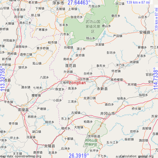
Longtian GPS coordinates[2]
27° 1' 12.036" North, 114° 1' 50.412" East
| Map corner | latitude | longitude |
|---|---|---|
| Upper-left | 27.64463°, | 113.32755° |
| Center: | 27.02001°, | 114.03067° |
| Lower-right: | 26.3919°, | 114.7338° |
| Map W x H: | 139.3×139.3 km | = 86.6×86.6mi |
| max Lat: | 53.31946° ⇑78.5% North |
| Longtian: | 27.02001° |
| min Lat: | ⇓21.5% South 18.22056° |
| min Long | Longtian | max Long |
| 75.07348° | 114.03067° | 134.28917° |
| W 48.8%⇐ | ⇒51.2% E |
Elevation
Elevation of Longtian is 140 m = 459 ft, and this is 344.8 m = 1131 ft below average elevation for this country.
| Max E: |
5622 m = 18445 ft | 53.5% |
| Avg. | 484.8 m = 1591 ft | |
| Longtian | 140 m = 459 ft | |
Min E: |
-3 m = -10 ft | 46.5% |
See also: China elevation on elevation.city.
Geographical zone
Longtian is located in North temperate zone (between Tropic of Cancer and the Arctic Circle). Distance of this Northern Tropic circle is 398.4 km =247.6 mi to South.| Distance of | km | miles | from Longtian |
|---|---|---|---|
| North Pole | 7002.7 | 4351.3 | to North |
| Arctic Circle | 4396.8 | 2732 | to North |
| Tropic Cancer | 398.4 | 247.6 | to South |
| Equator | 3004.3 | 1866.8 | to South |


Nearby cities:
15 places around Longtian: (largest is in red/bold)
• Gaolong
25.4 km =15.8 mi,  252°
252°
• Gaoshi
17.2 km =10.7 mi,  85°
85°
• Hechuan
21.6 km =13.4 mi,  115°
115°
• Hushang
27.3 km =17 mi,  3°
3°
• Liangfang
21.5 km =13.4 mi, 2°
• Lianzhou
22.7 km =14.1 mi,  82°
82°
• Litian
10.8 km =6.7 mi, 91°
• Longmen
13.6 km =8.5 mi,  54°
54°
• Lukou
30.1 km =18.7 mi,  13°
13°
• Qinting
14.1 km =8.8 mi,  325°
325°
• Shashi
4.5 km =2.8 mi, 84°
• Tailing
9.6 km =6 mi,  55°
55°
• Xiangxing
22.9 km =14.2 mi, 57°
• Xiaotian
26.5 km =16.5 mi,  226°
226°
• Zhitang
18.9 km =11.7 mi,  243°
243°
Sources, notices
• [Note1] Compared only with cities in China existing in our database
• [Src1] Map data: © OpenStreetMap contributors (CC-BY-SA)
• [Src2] Other city data from geonames.org with taken over terms of usage.
• [Src3] Geographical zone / Annual Mean Temperature by Robert A. Rohde @ Wikipedia
