Guangfudao geodata
Guangfudao (Tianjin) is a seat of a fourth-order administrative division; located in China in Asia/Shanghai (GMT+8) time zone. In our database, there are 1268 cities with bigger population. Compared to other cities in China, 83.4% of cities are located further ↓South; 67.2% of cities are located further ←West and 98.3% of cities have higher elevation than Guangfudao. Note1


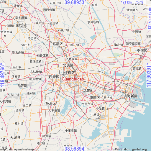
Guangfudao GPS coordinates[2]
39° 8' 46.86" North, 117° 12' 2.808" East
| Map corner | latitude | longitude |
|---|---|---|
| Upper-left | 39.68953°, | 116.49766° |
| Center: | 39.14635°, | 117.20078° |
| Lower-right: | 38.59894°, | 117.90391° |
| Map W x H: | 121.3×121.3 km | = 75.4×75.4mi |
| max Lat: | 53.31946° ⇑16.6% North |
| Guangfudao: | 39.14635° |
| min Lat: | ⇓83.4% South 18.22056° |
| min Long | Guangfudao | max Long |
| 75.07348° | 117.20078° | 134.28917° |
| W 67.2%⇐ | ⇒32.8% E |
Elevation
Elevation of Guangfudao is 4 m = 13 ft, and this is 480.8 m = 1577 ft below average elevation for this country.
| Max E: |
5622 m = 18445 ft | 98.3% |
| Avg. | 484.8 m = 1591 ft | |
| Guangfudao | 4 m = 13 ft | |
Min E: |
-3 m = -10 ft | 1.7% |
See also: China elevation on elevation.city.
Geographical zone
Guangfudao is located in North temperate zone (between Tropic of Cancer and the Arctic Circle). Distance of this Northern Tropic circle is 1746.7 km =1085.3 mi to South.| Distance of | km | miles | from Guangfudao |
|---|---|---|---|
| North Pole | 5654.4 | 3513.5 | to North |
| Arctic Circle | 3048.5 | 1894.2 | to North |
| Tropic Cancer | 1746.7 | 1085.3 | to South |
| Equator | 4352.7 | 2704.6 | to South |


Nearby cities:
15 places around Guangfudao: (largest is in red/bold)
• Changzhoudao
2.8 km =1.7 mi,  87°
87°
• Chunhua
0.7 km =0.4 mi,  167°
167°
• Dahutong
1.6 km =1 mi,  269°
269°
• Dawangzhuang
2.5 km =1.6 mi,  148°
148°
• Gulou
2.2 km =1.4 mi,  246°
246°
• Hongshunli
1.7 km =1.1 mi,  318°
318°
• Jianchangdao
3.1 km =1.9 mi,  37°
37°
• Nanshi
2.7 km =1.7 mi,  217°
217°
• Ningyuan
2 km =1.2 mi,  21°
21°
• Quanyechang
2.9 km =1.8 mi,  193°
193°
• Santiaoshi
2.4 km =1.5 mi,  295°
295°
• Tianjin
2.1 km =1.3 mi,  257°
257°
• Wangchuanchang
1.4 km =0.9 mi,  56°
56°
• Wanghailou
1.5 km =0.9 mi,  8°
8°
• Xiaobailou
3.2 km =2 mi, 172°
Sources, notices
• [Note1] Compared only with cities in China existing in our database
• [Src1] Map data: © OpenStreetMap contributors (CC-BY-SA)
• [Src2] Other city data from geonames.org with taken over terms of usage.
• [Src3] Geographical zone / Annual Mean Temperature by Robert A. Rohde @ Wikipedia
