Chenqing geodata
Chenqing (Heilongjiang) is a seat of a fourth-order administrative division; located in China in Asia/Shanghai (GMT+8) time zone. In our database, there are 1268 cities with bigger population. Compared to other cities in China, 99.2% of cities are located further ↓South; 97.1% of cities are located further ←West and 64.7% of cities have lower elevation than Chenqing. Note1


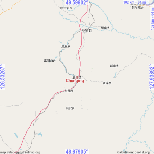
Chenqing GPS coordinates[2]
49° 8' 28.212" North, 127° 14' 8.844" East
| Map corner | latitude | longitude |
|---|---|---|
| Upper-left | 49.59902°, | 126.53267° |
| Center: | 49.14117°, | 127.23579° |
| Lower-right: | 48.67905°, | 127.93892° |
| Map W x H: | 102.3×102.3 km | = 63.6×63.6mi |
| max Lat: | 53.31946° ⇑0.8% North |
| Chenqing: | 49.14117° |
| min Lat: | ⇓99.2% South 18.22056° |
| min Long | Chenqing | max Long |
| 75.07348° | 127.23579° | 134.28917° |
| W 97.1%⇐ | ⇒2.9% E |
Elevation
Elevation of Chenqing is 320 m = 1050 ft, and this is 164.8 m = 541 ft below average elevation for this country.
| Max E: |
5622 m = 18445 ft | 35.3% |
| Avg. | 484.8 m = 1591 ft | |
| Chenqing | 320 m = 1050 ft | |
Min E: |
-3 m = -10 ft | 64.7% |
See also: China elevation on elevation.city.
Geographical zone
Chenqing is located in North temperate zone (between Tropic of Cancer and the Arctic Circle). Distance of this North polar circle is 1937.2 km =1203.7 mi to North.| Distance of | km | miles | from Chenqing |
|---|---|---|---|
| North Pole | 4543.1 | 2823 | to North |
| Arctic Circle | 1937.2 | 1203.7 | to North |
| Tropic Cancer | 2858.1 | 1775.9 | to South |
| Equator | 5464 | 3395.2 | to South |


Nearby cities:
15 places around Chenqing: (largest is in red/bold)
• Baiyun
72.9 km =45.3 mi,  271°
271°
• Erzhan
62.5 km =38.8 mi,  341°
341°
• Fendou
20.1 km =12.5 mi,  99°
99°
• Ganchazi
83.3 km =51.8 mi,  63°
63°
• Hongqi
10 km =6.2 mi,  214°
214°
• Qingxi
21.6 km =13.4 mi, 341°
• Qunshan
26 km =16.2 mi,  71°
71°
• Sunwu
31.3 km =19.4 mi,  10°
10°
• Woniuhe
45.8 km =28.5 mi,  350°
350°
• Xin’e
53.7 km =33.4 mi,  89°
89°
• Xixing
30 km =18.6 mi,  4°
4°
• Xunhe
64.7 km =40.2 mi, 69°
• Yanjiang
62.2 km =38.6 mi,  39°
39°
• Yaotun
37.7 km =23.4 mi,  29°
29°
• Zhengyangshan
21.2 km =13.2 mi,  301°
301°
Sources, notices
• [Note1] Compared only with cities in China existing in our database
• [Src1] Map data: © OpenStreetMap contributors (CC-BY-SA)
• [Src2] Other city data from geonames.org with taken over terms of usage.
• [Src3] Geographical zone / Annual Mean Temperature by Robert A. Rohde @ Wikipedia
