Youludu Sibage geodata
Youludu Sibage (Xinjiang) is a seat of a fourth-order administrative division; located in China in Asia/Urumqi (GMT+6) time zone. In our database, there are 1268 cities with bigger population. Compared to other cities in China, 90.2% of cities are located further ↓South; 99.1% of cities are located further →East and 85.3% of cities have lower elevation than Youludu Sibage. Note1


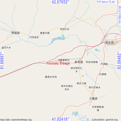
Youludu Sibage GPS coordinates[2]
41° 33' 8.928" North, 82° 23' 30.444" East
| Map corner | latitude | longitude |
|---|---|---|
| Upper-left | 42.07652°, | 81.68867° |
| Center: | 41.55248°, | 82.39179° |
| Lower-right: | 41.02416°, | 83.09492° |
| Map W x H: | 117×117 km | = 72.7×72.7mi |
| max Lat: | 53.31946° ⇑9.8% North |
| Youludu Sibage: | 41.55248° |
| min Lat: | ⇓90.2% South 18.22056° |
| min Long | Youludu Sibage | max Long |
| 75.07348° | 82.39179° | 134.28917° |
| W 0.9%⇐ | ⇒99.1% E |
Elevation
Elevation of Youludu Sibage is 1001 m = 3284 ft, and this is 516.2 m = 1694 ft above average elevation for this country.
| Max E: |
5622 m = 18445 ft | 14.7% |
| Youludu Sibage | 1001 m 3284 ft | |
| Avg. | 484.8 m = 1591 ft | |
Min E: |
-3 m = -10 ft | 85.3% |
See also: China elevation on elevation.city.
Geographical zone
Youludu Sibage is located in North temperate zone (between Tropic of Cancer and the Arctic Circle). Distance of this Northern Tropic circle is 2014.3 km =1251.6 mi to South.| Distance of | km | miles | from Youludu Sibage |
|---|---|---|---|
| North Pole | 5386.9 | 3347.3 | to North |
| Arctic Circle | 2781 | 1728 | to North |
| Tropic Cancer | 2014.3 | 1251.6 | to South |
| Equator | 4620.2 | 2870.9 | to South |


Nearby cities:
15 places around Youludu Sibage: (largest is in red/bold)
• Alakaga
31.2 km =19.4 mi,  91°
91°
• Baicheng
49.9 km =31 mi,  299°
299°
• Daqiao
70.1 km =43.6 mi,  277°
277°
• Hongqi
40.9 km =25.4 mi,  107°
107°
• Keyi
70.5 km =43.8 mi,  16°
16°
• Kizil
30 km =18.6 mi,  6°
6°
• Kuqa
48.4 km =30.1 mi,  67°
67°
• Payxambabazar
19.1 km =11.9 mi,  126°
126°
• Qarqi
85.4 km =53.1 mi,  272°
272°
• Qiman
43.3 km =26.9 mi, 92°
• Sairam
31.2 km =19.4 mi,  319°
319°
• Tamutuo Gelake
23.8 km =14.8 mi,  172°
172°
• Xayar
49.8 km =30.9 mi,  136°
136°
• Xinhe
18.7 km =11.6 mi, 90°
• Yengimahalla
31.5 km =19.6 mi, 136°
Sources, notices
• [Note1] Compared only with cities in China existing in our database
• [Src1] Map data: © OpenStreetMap contributors (CC-BY-SA)
• [Src2] Other city data from geonames.org with taken over terms of usage.
• [Src3] Geographical zone / Annual Mean Temperature by Robert A. Rohde @ Wikipedia
