Qira geodata
Qira (Xinjiang) is a seat of a third-order administrative division; located in China in Asia/Urumqi (GMT+6) time zone. In our database, there are 1268 cities with bigger population. Compared to other cities in China, 79.3% of cities are located further ↓South; 99.4% of cities are located further →East and 90.1% of cities have lower elevation than Qira. Note1


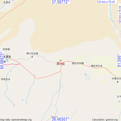
Qira GPS coordinates[2]
37° 1' 42.492" North, 80° 48' 10.332" East
| Map corner | latitude | longitude |
|---|---|---|
| Upper-left | 37.58772°, | 80.09975° |
| Center: | 37.02847°, | 80.80287° |
| Lower-right: | 36.46507°, | 81.506° |
| Map W x H: | 124.8×124.8 km | = 77.5×77.5mi |
| max Lat: | 53.31946° ⇑20.7% North |
| Qira: | 37.02847° |
| min Lat: | ⇓79.3% South 18.22056° |
| min Long | Qira | max Long |
| 75.07348° | 80.80287° | 134.28917° |
| W 0.6%⇐ | ⇒99.4% E |
Elevation
Elevation of Qira is 1373 m = 4505 ft, and this is 888.2 m = 2914 ft above average elevation for this country.
| Max E: |
5622 m = 18445 ft | 9.9% |
| Qira | 1373 m 4505 ft | |
| Avg. | 484.8 m = 1591 ft | |
Min E: |
-3 m = -10 ft | 90.1% |
See also: China elevation on elevation.city.
Geographical zone
Qira is located in North temperate zone (between Tropic of Cancer and the Arctic Circle). Distance of this Northern Tropic circle is 1511.3 km =939.1 mi to South.| Distance of | km | miles | from Qira |
|---|---|---|---|
| North Pole | 5889.9 | 3659.8 | to North |
| Arctic Circle | 3284 | 2040.6 | to North |
| Tropic Cancer | 1511.3 | 939.1 | to South |
| Equator | 4117.2 | 2558.3 | to South |


Nearby cities:
15 places around Qira: (largest is in red/bold)
• Aqqan
121 km =75.2 mi,  121°
121°
• Damiku
26.5 km =16.5 mi,  102°
102°
• Darya Boyi
183.8 km =114.2 mi,  34°
34°
• Hotan
77.5 km =48.2 mi,  276°
276°
• Karakax
98.2 km =61 mi,  286°
286°
• Layka
95.2 km =59.2 mi,  273°
273°
• Lop
55.3 km =34.4 mi, 275°
• Mugala
79.2 km =49.2 mi, 103°
• Niya
167.5 km =104.1 mi,  88°
88°
• Nur
81.5 km =50.6 mi,  163°
163°
• Nu’erbage
79.7 km =49.5 mi, 276°
• Oytograk
102.8 km =63.9 mi, 102°
• Rokiya
178.7 km =111 mi, 88°
• Xambabazar
64.8 km =40.3 mi, 104°
• Zangguy
182.7 km =113.5 mi, 278°
Sources, notices
• [Note1] Compared only with cities in China existing in our database
• [Src1] Map data: © OpenStreetMap contributors (CC-BY-SA)
• [Src2] Other city data from geonames.org with taken over terms of usage.
• [Src3] Geographical zone / Annual Mean Temperature by Robert A. Rohde @ Wikipedia
