Nu’erbage geodata
Nu’erbage (Xinjiang) is a seat of a third-order administrative division; located in China in Asia/Urumqi (GMT+6) time zone. In our database, there are 1268 cities with bigger population. Compared to other cities in China, 79.5% of cities are located further ↓South; 99.5% of cities are located further →East and 90.2% of cities have lower elevation than Nu’erbage. Note1


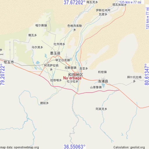
Nu’erbage GPS coordinates[2]
37° 6' 48.24" North, 79° 54' 37.224" East
| Map corner | latitude | longitude |
|---|---|---|
| Upper-left | 37.67202°, | 79.20722° |
| Center: | 37.1134°, | 79.91034° |
| Lower-right: | 36.55063°, | 80.61347° |
| Map W x H: | 124.7×124.7 km | = 77.5×77.5mi |
| max Lat: | 53.31946° ⇑20.5% North |
| Nu’erbage: | 37.1134° |
| min Lat: | ⇓79.5% South 18.22056° |
| min Long | Nu’erbage | max Long |
| 75.07348° | 79.91034° | 134.28917° |
| W 0.5%⇐ | ⇒99.5% E |
Elevation
Elevation of Nu’erbage is 1379 m = 4524 ft, and this is 894.2 m = 2934 ft above average elevation for this country.
| Max E: |
5622 m = 18445 ft | 9.8% |
| Nu’erbage | 1379 m 4524 ft | |
| Avg. | 484.8 m = 1591 ft | |
Min E: |
-3 m = -10 ft | 90.2% |
See also: China elevation on elevation.city.
Geographical zone
Nu’erbage is located in North temperate zone (between Tropic of Cancer and the Arctic Circle). Distance of this Northern Tropic circle is 1520.7 km =944.9 mi to South.| Distance of | km | miles | from Nu’erbage |
|---|---|---|---|
| North Pole | 5880.4 | 3653.9 | to North |
| Arctic Circle | 3274.6 | 2034.7 | to North |
| Tropic Cancer | 1520.7 | 944.9 | to South |
| Equator | 4126.6 | 2564.1 | to South |


Nearby cities:
15 places around Nu’erbage: (largest is in red/bold)
• Aqqan
196.7 km =122.2 mi,  111°
111°
• Damiku
106.1 km =65.9 mi,  98°
98°
• Darya Boyi
231.7 km =144 mi,  52°
52°
• Guma
154.5 km =96 mi,  291°
291°
• Hotan
2.3 km =1.4 mi, 106°
• Karakax
23.4 km =14.5 mi,  319°
319°
• Layka
16.4 km =10.2 mi,  255°
255°
• Lop
24.5 km =15.2 mi, 100°
• Mugala
158.7 km =98.6 mi, 100°
• Niya
246.5 km =153.2 mi,  91°
91°
• Nur
134.8 km =83.8 mi,  130°
130°
• Oytograk
182.4 km =113.3 mi, 99°
• Qira
79.7 km =49.5 mi, 96°
• Xambabazar
144.2 km =89.6 mi, 100°
• Zangguy
103 km =64 mi,  280°
280°
Sources, notices
• [Note1] Compared only with cities in China existing in our database
• [Src1] Map data: © OpenStreetMap contributors (CC-BY-SA)
• [Src2] Other city data from geonames.org with taken over terms of usage.
• [Src3] Geographical zone / Annual Mean Temperature by Robert A. Rohde @ Wikipedia
