Wensu geodata
Wensu (Xinjiang) is a seat of a third-order administrative division; located in China in Asia/Urumqi (GMT+6) time zone. In our database, there are 1268 cities with bigger population. Compared to other cities in China, 89.7% of cities are located further ↓South; 99.5% of cities are located further →East and 87.2% of cities have lower elevation than Wensu. Note1


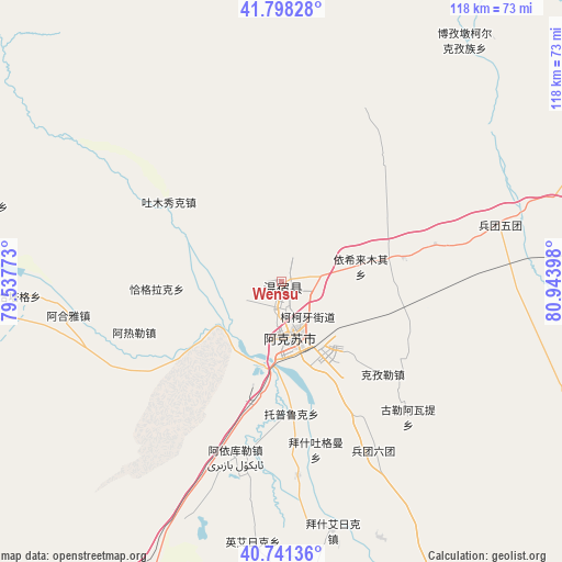
Wensu GPS coordinates[2]
41° 16' 19.056" North, 80° 14' 27.06" East
| Map corner | latitude | longitude |
|---|---|---|
| Upper-left | 41.79828°, | 79.53773° |
| Center: | 41.27196°, | 80.24085° |
| Lower-right: | 40.74136°, | 80.94398° |
| Map W x H: | 117.5×117.5 km | = 73×73mi |
| max Lat: | 53.31946° ⇑10.3% North |
| Wensu: | 41.27196° |
| min Lat: | ⇓89.7% South 18.22056° |
| min Long | Wensu | max Long |
| 75.07348° | 80.24085° | 134.28917° |
| W 0.5%⇐ | ⇒99.5% E |
Elevation
Elevation of Wensu is 1127 m = 3698 ft, and this is 642.2 m = 2107 ft above average elevation for this country.
| Max E: |
5622 m = 18445 ft | 12.8% |
| Wensu | 1127 m 3698 ft | |
| Avg. | 484.8 m = 1591 ft | |
Min E: |
-3 m = -10 ft | 87.2% |
See also: China elevation on elevation.city.
Geographical zone
Wensu is located in North temperate zone (between Tropic of Cancer and the Arctic Circle). Distance of this Northern Tropic circle is 1983.1 km =1232.2 mi to South.| Distance of | km | miles | from Wensu |
|---|---|---|---|
| North Pole | 5418.1 | 3366.7 | to North |
| Arctic Circle | 2812.2 | 1747.4 | to North |
| Tropic Cancer | 1983.1 | 1232.2 | to South |
| Equator | 4589 | 2851.5 | to South |


Nearby cities:
15 places around Wensu: (largest is in red/bold)
• Aksu
10.3 km =6.4 mi,  161°
161°
• Awat
71.4 km =44.4 mi,  170°
170°
• Aykol
36 km =22.4 mi,  194°
194°
• Bozidun
66.1 km =41.1 mi,  41°
41°
• Daqiao
116.6 km =72.5 mi,  69°
69°
• Jiamu
26.7 km =16.6 mi,  90°
90°
• Kizil
31.3 km =19.4 mi,  132°
132°
• Qarqi
100 km =62.1 mi, 69°
• Qilan
94.3 km =58.6 mi,  213°
213°
• Tumxuk
25.6 km =15.9 mi,  294°
294°
• Wuluquele
93.6 km =58.2 mi, 167°
• Wushi
86 km =53.4 mi,  261°
261°
• Yamansu
97.6 km =60.6 mi, 261°
• Yengiawat
65.1 km =40.5 mi,  277°
277°
• Yimamu
65.9 km =40.9 mi, 263°
Sources, notices
• [Note1] Compared only with cities in China existing in our database
• [Src1] Map data: © OpenStreetMap contributors (CC-BY-SA)
• [Src2] Other city data from geonames.org with taken over terms of usage.
• [Src3] Geographical zone / Annual Mean Temperature by Robert A. Rohde @ Wikipedia
