Bozidun geodata
Bozidun (Xinjiang) is a seat of a fourth-order administrative division; located in China in Asia/Urumqi (GMT+6) time zone. In our database, there are 1268 cities with bigger population. Compared to other cities in China, 90.5% of cities are located further ↓South; 99.4% of cities are located further →East and 94.8% of cities have lower elevation than Bozidun. Note1


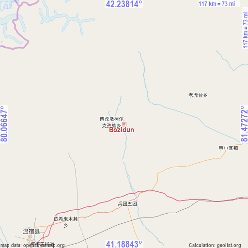
Bozidun GPS coordinates[2]
41° 42' 55.548" North, 80° 46' 10.524" East
| Map corner | latitude | longitude |
|---|---|---|
| Upper-left | 42.23814°, | 80.06647° |
| Center: | 41.71543°, | 80.76959° |
| Lower-right: | 41.18843°, | 81.47272° |
| Map W x H: | 116.7×116.7 km | = 72.5×72.5mi |
| max Lat: | 53.31946° ⇑9.5% North |
| Bozidun: | 41.71543° |
| min Lat: | ⇓90.5% South 18.22056° |
| min Long | Bozidun | max Long |
| 75.07348° | 80.76959° | 134.28917° |
| W 0.6%⇐ | ⇒99.4% E |
Elevation
Elevation of Bozidun is 2064 m = 6772 ft, and this is 1579.2 m = 5181 ft above average elevation for this country.
| Max E: |
5622 m = 18445 ft | 5.2% |
| Bozidun | 2064 m 6772 ft | |
| Avg. | 484.8 m = 1591 ft | |
Min E: |
-3 m = -10 ft | 94.8% |
See also: China elevation on elevation.city.
Geographical zone
Bozidun is located in North temperate zone (between Tropic of Cancer and the Arctic Circle). Distance of this Northern Tropic circle is 2032.4 km =1262.9 mi to South.| Distance of | km | miles | from Bozidun |
|---|---|---|---|
| North Pole | 5368.7 | 3336 | to North |
| Arctic Circle | 2762.9 | 1716.8 | to North |
| Tropic Cancer | 2032.4 | 1262.9 | to South |
| Equator | 4638.3 | 2882.1 | to South |


Nearby cities:
15 places around Bozidun: (largest is in red/bold)
• Aksu
71.8 km =44.6 mi,  214°
214°
• Aral
136.9 km =85.1 mi,  162°
162°
• Awat
124.1 km =77.1 mi,  195°
195°
• Aykol
99.5 km =61.8 mi, 212°
• Baicheng
91.4 km =56.8 mi,  85°
85°
• Daqiao
65.9 km =40.9 mi,  98°
98°
• Jiamu
52.6 km =32.7 mi, 199°
• Kizil
73.3 km =45.5 mi, 196°
• Qarqi
51.7 km =32.1 mi,  106°
106°
• Sairam
114.5 km =71.1 mi, 87°
• Tumxuk
77.4 km =48.1 mi,  240°
240°
• Wensu
66.1 km =41.1 mi,  221°
221°
• Yengiawat
115.6 km =71.8 mi,  249°
249°
• Yimamu
123.2 km =76.6 mi, 242°
• Youludu Sibage
136 km =84.5 mi, 97°
Sources, notices
• [Note1] Compared only with cities in China existing in our database
• [Src1] Map data: © OpenStreetMap contributors (CC-BY-SA)
• [Src2] Other city data from geonames.org with taken over terms of usage.
• [Src3] Geographical zone / Annual Mean Temperature by Robert A. Rohde @ Wikipedia
