Habana del Este geodata
Habana del Este (Havana) is a section of populated place; located in Cuba in America/Havana (GMT-4) time zone. With population of 178,041 people, there are 13 cities with bigger population in this country. Compared to other cities in Cuba, 100% of cities are located further ↓South; 79% of cities are located further →East and 82.3% of cities have higher elevation than Habana del Este. Note1


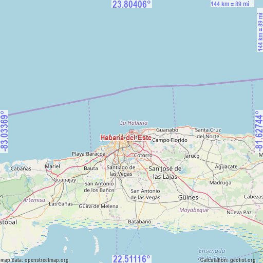
Habana del Este GPS coordinates[2]
23° 9' 33.012" North, 82° 19' 50.016" West
| Map corner | latitude | longitude |
|---|---|---|
| Upper-left | 23.80406°, | -83.03369° |
| Center: | 23.15917°, | -82.33056° |
| Lower-right: | 22.51116°, | -81.62744° |
| Map W x H: | 143.8×143.8 km | = 89.4×89.4mi |
| max Lat: | 23.15917° ⇑0% North |
| Habana del Este: | 23.15917° |
| min Lat: | ⇓100% South 19.90553° |
| min Long | Habana del Este | max Long |
| -84.28599° | -82.33056° | -74.15181° |
| W 21%⇐ | ⇒79% E |
Elevation
Elevation of Habana del Este is 19 m = 62 ft, and this is 49.6 m = 163 ft below average elevation for this country.
| Max E: |
761 m = 2497 ft | 82.3% |
| Avg. | 68.6 m = 225 ft | |
| Habana del Este | 19 m = 62 ft | |
Min E: |
3 m = 10 ft | 17.7% |
See also: Habana del Este elevation on elevation.city.
Geographical zone
Habana del Este is located in North Torrid zone (between Equator and Tropic of Cancer). Distance of this Northern Tropic circle is 30.9 km =19.2 mi to North.| Distance of | km | miles | from Habana del Este |
|---|---|---|---|
| North Pole | 7432 | 4618 | to North |
| Arctic Circle | 4826.1 | 2998.8 | to North |
| Tropic Cancer | 30.9 | 19.2 | to North |
| Equator | 2575.1 | 1600.1 | to South |


Nearby cities:
15 places around Habana del Este: (largest is in red/bold)
• Alamar
5.3 km =3.3 mi,  91°
91°
• Arroyo Naranjo
14.2 km =8.8 mi,  196°
196°
• Bejucal
26.3 km =16.3 mi,  193°
193°
• Boyeros
18.4 km =11.4 mi, 203°
• Centro Habana
4.1 km =2.5 mi,  236°
236°
• Cerro
7.4 km =4.6 mi,  220°
220°
• Diez de Octubre
8.4 km =5.2 mi, 200°
• Guanabacoa
5 km =3.1 mi,  142°
142°
• Havana
6.1 km =3.8 mi, 241°
• Jamaica
26.3 km =16.3 mi, 140°
• La Habana Vieja
4 km =2.5 mi, 215°
• Regla
3.8 km =2.4 mi,  182°
182°
• San José de las Lajas
28.6 km =17.8 mi, 140°
• San Miguel del Padrón
10.9 km =6.8 mi,  160°
160°
• Santiago de las Vegas
21.8 km =13.5 mi, 195°
Sources, notices
• [Note1] Compared only with cities in Cuba existing in our database
• [Src1] Map data: © OpenStreetMap contributors (CC-BY-SA)
• [Src2] Other city data from geonames.org with taken over terms of usage.
• [Src3] Geographical zone / Annual Mean Temperature by Robert A. Rohde @ Wikipedia
