Sollwitt geodata
Sollwitt (Schleswig-Holstein) is a seat of a fourth-order administrative division; located in Germany in Europe/Berlin (GMT+2) time zone. With population of 335 people, there are 9924 cities with bigger population in this country. Compared to other cities in Germany, 98.5% of cities are located further ↓South; 62.1% of cities are located further →East and 91.2% of cities have higher elevation than Sollwitt. Note1
Administrative division(s):
- Level 1: Schleswig-Holstein
- Level 3: Kreis Nordfriesland
- Level 4: Sollwitt


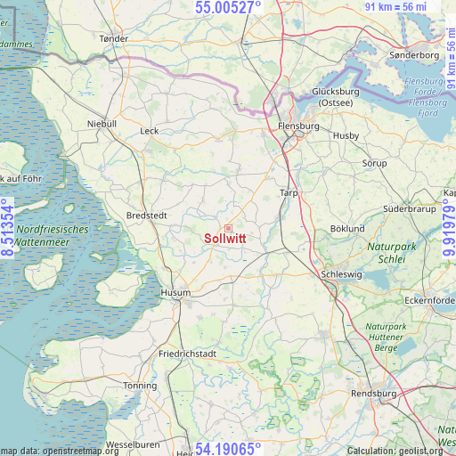
Sollwitt GPS coordinates[2]
54° 36' 0" North, 9° 13' 0.012" East
| Map corner | latitude | longitude |
|---|---|---|
| Upper-left | 55.00527°, | 8.51354° |
| Center: | 54.6°, | 9.21667° |
| Lower-right: | 54.19065°, | 9.91979° |
| Map W x H: | 90.6×90.6 km | = 56.3×56.3mi |
| max Lat: | 55.01917° ⇑1.5% North |
| Sollwitt: | 54.6° |
| min Lat: | ⇓98.5% South 47.40724° |
| min Long | Sollwitt | max Long |
| 5.92978° | 9.21667° | 14.98853° |
| W 37.9%⇐ | ⇒62.1% E |
Elevation
Elevation of Sollwitt is 18 m = 59 ft, and this is 231.1 m = 758 ft below average elevation for this country.
| Max E: |
1256 m = 4121 ft | 91.2% |
| Avg. | 249.1 m = 817 ft | |
| Sollwitt | 18 m = 59 ft | |
Min E: |
-5 m = -16 ft | 8.8% |
See also: Germany elevation on elevation.city.
Geographical zone
Sollwitt is located in North temperate zone (between Tropic of Cancer and the Arctic Circle). Distance of this North polar circle is 1330.2 km =826.5 mi to North.| Distance of | km | miles | from Sollwitt |
|---|---|---|---|
| North Pole | 3936.1 | 2445.8 | to North |
| Arctic Circle | 1330.2 | 826.5 | to North |
| Tropic Cancer | 3465 | 2153.1 | to South |
| Equator | 6071 | 3772.3 | to South |


Nearby cities:
15 places around Sollwitt: (largest is in red/bold)
• Ahrenviöl
7.7 km =4.8 mi,  184°
184°
• Behrendorf
3.7 km =2.3 mi, 180°
• Bondelum
4.9 km =3 mi,  138°
138°
• Haselund
2.1 km =1.3 mi,  270°
270°
• Immenstedt
7.5 km =4.7 mi,  208°
208°
• Janneby
6.5 km =4 mi,  55°
55°
• Joldelund
7.7 km =4.8 mi,  316°
316°
• Jörl
5.4 km =3.4 mi,  90°
90°
• Kolkerheide
5.7 km =3.5 mi,  289°
289°
• Löwenstedt
3.7 km =2.3 mi,  310°
310°
• Norstedt
5.7 km =3.5 mi,  250°
250°
• Oster-Ohrstedt
9.4 km =5.8 mi, 177°
• Sollerup
6.7 km =4.2 mi,  106°
106°
• Süderhackstedt
4.3 km =2.7 mi, 90°
• Viöl
4.3 km =2.7 mi, 210°
Sources, notices
• [Note1] Compared only with cities in Germany existing in our database
• [Src1] Map data: © OpenStreetMap contributors (CC-BY-SA)
• [Src2] Other city data from geonames.org with taken over terms of usage.
• [Src3] Geographical zone / Annual Mean Temperature by Robert A. Rohde @ Wikipedia
