Lauterbach geodata
Lauterbach (Saarland) is a seat of a fourth-order administrative division; located in Germany in Europe/Berlin (GMT+2) time zone. In our database, there are 11009 cities with bigger population. Compared to other cities in Germany, 80.6% of cities are located further ↑North; 96.1% of cities are located further →East and 50.5% of cities have higher elevation than Lauterbach. Note1
Administrative division(s):
- Level 1: Saarland
- Level 3: Regionalverband Saarbrücken
- Level 4: Völklingen


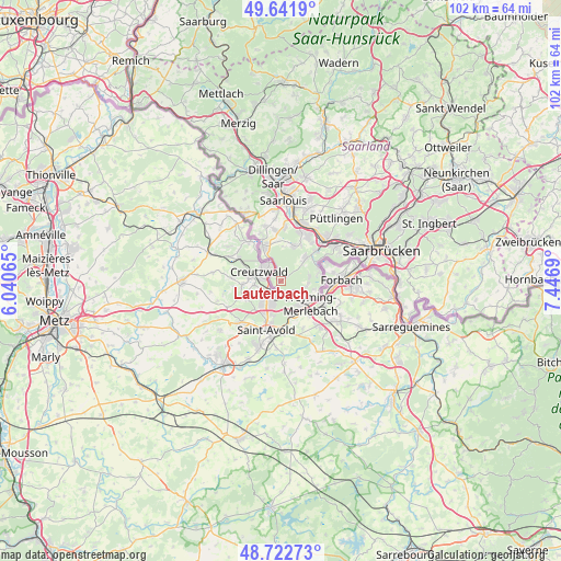
Lauterbach GPS coordinates[2]
49° 11' 4.02" North, 6° 44' 37.608" East
| Map corner | latitude | longitude |
|---|---|---|
| Upper-left | 49.6419°, | 6.04065° |
| Center: | 49.18445°, | 6.74378° |
| Lower-right: | 48.72273°, | 7.4469° |
| Map W x H: | 102.2×102.2 km | = 63.5×63.5mi |
| max Lat: | 55.01917° ⇑80.6% North |
| Lauterbach: | 49.18445° |
| min Lat: | ⇓19.4% South 47.40724° |
| min Long | Lauterbach | max Long |
| 5.92978° | 6.74378° | 14.98853° |
| W 3.9%⇐ | ⇒96.1% E |
Elevation
Elevation of Lauterbach is 221 m = 725 ft, and this is 28.1 m = 92 ft below average elevation for this country.
| Max E: |
1256 m = 4121 ft | 50.5% |
| Avg. | 249.1 m = 817 ft | |
| Lauterbach | 221 m = 725 ft | |
Min E: |
-5 m = -16 ft | 49.5% |
See also: Germany elevation on elevation.city.
Geographical zone
Lauterbach is located in North temperate zone (between Tropic of Cancer and the Arctic Circle). Distance of this North polar circle is 1932.4 km =1200.7 mi to North.| Distance of | km | miles | from Lauterbach |
|---|---|---|---|
| North Pole | 4538.3 | 2820 | to North |
| Arctic Circle | 1932.4 | 1200.7 | to North |
| Tropic Cancer | 2862.9 | 1778.9 | to South |
| Equator | 5468.8 | 3398.2 | to South |


Nearby cities:
15 places around Lauterbach: (largest is in red/bold)
• Altforweiler
10.3 km =6.4 mi,  344°
344°
• Berus
9.5 km =5.9 mi, 338°
• Bisten
8.2 km =5.1 mi, 341°
• Bous
11.1 km =6.9 mi,  22°
22°
• Fenne
12.4 km =7.7 mi,  55°
55°
• Fürstenhausen
11 km =6.8 mi, 55°
• Großrosseln
7.4 km =4.6 mi,  73°
73°
• Heidstock
12.8 km =8 mi,  51°
51°
• Hostenbach
10.2 km =6.3 mi,  30°
30°
• Ludweiler-Warndt
6.4 km =4 mi, 50°
• Röchling-Höhe
11.7 km =7.3 mi, 34°
• Schaffhausen
9.3 km =5.8 mi, 31°
• Völklingen
11.2 km =7 mi, 48°
• Wadgassen
9.6 km =6 mi, 17°
• Überherrn
7.2 km =4.5 mi,  332°
332°
Sources, notices
• [Note1] Compared only with cities in Germany existing in our database
• [Src1] Map data: © OpenStreetMap contributors (CC-BY-SA)
• [Src2] Other city data from geonames.org with taken over terms of usage.
• [Src3] Geographical zone / Annual Mean Temperature by Robert A. Rohde @ Wikipedia
