Berus geodata
Berus (Saarland) is a seat of a fourth-order administrative division; located in Germany in Europe/Berlin (GMT+2) time zone. In our database, there are 11009 cities with bigger population. Compared to other cities in Germany, 79.3% of cities are located further ↑North; 96.5% of cities are located further →East and 64.9% of cities have lower elevation than Berus. Note1


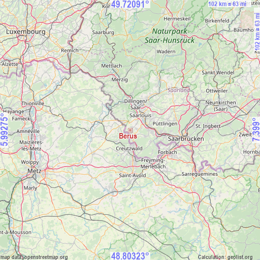
Berus GPS coordinates[2]
49° 15' 51.12" North, 6° 41' 45.132" East
| Map corner | latitude | longitude |
|---|---|---|
| Upper-left | 49.72091°, | 5.99275° |
| Center: | 49.2642°, | 6.69587° |
| Lower-right: | 48.80323°, | 7.399° |
| Map W x H: | 102×102 km | = 63.4×63.4mi |
| max Lat: | 55.01917° ⇑79.3% North |
| Berus: | 49.2642° |
| min Lat: | ⇓20.7% South 47.40724° |
| min Long | Berus | max Long |
| 5.92978° | 6.69587° | 14.98853° |
| W 3.5%⇐ | ⇒96.5% E |
Elevation
Elevation of Berus is 320 m = 1050 ft, and this is 70.9 m = 233 ft above average elevation for this country.
| Max E: |
1256 m = 4121 ft | 35.1% |
| Berus | 320 m 1050 ft | |
| Avg. | 249.1 m = 817 ft | |
Min E: |
-5 m = -16 ft | 64.9% |
See also: Germany elevation on elevation.city.
Geographical zone
Berus is located in North temperate zone (between Tropic of Cancer and the Arctic Circle). Distance of this North polar circle is 1923.5 km =1195.2 mi to North.| Distance of | km | miles | from Berus |
|---|---|---|---|
| North Pole | 4529.4 | 2814.4 | to North |
| Arctic Circle | 1923.5 | 1195.2 | to North |
| Tropic Cancer | 2871.7 | 1784.4 | to South |
| Equator | 5477.7 | 3403.7 | to South |


Nearby cities:
15 places around Berus: (largest is in red/bold)
• Altforweiler
1.3 km =0.8 mi,  33°
33°
• Bisten
1.4 km =0.9 mi,  143°
143°
• Bous
7.8 km =4.8 mi,  79°
79°
• Dillingen
10.4 km =6.5 mi,  12°
12°
• Ensdorf
7.5 km =4.7 mi,  57°
57°
• Hostenbach
8.6 km =5.3 mi,  90°
90°
• Lauterbach
9.5 km =5.9 mi,  158°
158°
• Ludweiler-Warndt
9.7 km =6 mi,  119°
119°
• Röchling-Höhe
10.1 km =6.3 mi, 85°
• Saarlouis
6.8 km =4.2 mi,  36°
36°
• Schaffhausen
8.3 km =5.2 mi,  96°
96°
• Schwalbach
9.6 km =6 mi,  65°
65°
• Wadgassen
6.4 km =4 mi, 87°
• Wallerfangen
7.1 km =4.4 mi, 8°
• Überherrn
2.5 km =1.6 mi,  175°
175°
Sources, notices
• [Note1] Compared only with cities in Germany existing in our database
• [Src1] Map data: © OpenStreetMap contributors (CC-BY-SA)
• [Src2] Other city data from geonames.org with taken over terms of usage.
• [Src3] Geographical zone / Annual Mean Temperature by Robert A. Rohde @ Wikipedia
