Lauperath geodata
Lauperath (Rheinland-Pfalz) is a seat of a fourth-order administrative division; located in Germany in Europe/Berlin (GMT+2) time zone. With population of 118 people, there are 10790 cities with bigger population in this country. Compared to other cities in Germany, 61.8% of cities are located further ↑North; 99% of cities are located further →East and 89.4% of cities have lower elevation than Lauperath. Note1
Administrative division(s):
- Level 1: Rheinland-Pfalz
- Level 3: Eifelkreis Bitburg-Prüm
- Level 4: Lauperath


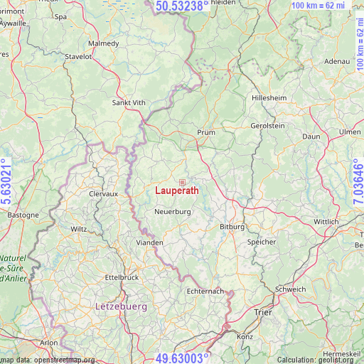
Lauperath GPS coordinates[2]
50° 4' 59.988" North, 6° 19' 59.988" East
| Map corner | latitude | longitude |
|---|---|---|
| Upper-left | 50.53238°, | 5.63021° |
| Center: | 50.08333°, | 6.33333° |
| Lower-right: | 49.63003°, | 7.03646° |
| Map W x H: | 100.3×100.3 km | = 62.3×62.3mi |
| max Lat: | 55.01917° ⇑61.8% North |
| Lauperath: | 50.08333° |
| min Lat: | ⇓38.2% South 47.40724° |
| min Long | Lauperath | max Long |
| 5.92978° | 6.33333° | 14.98853° |
| W 1%⇐ | ⇒99% E |
Elevation
Elevation of Lauperath is 507 m = 1663 ft, and this is 257.9 m = 846 ft above average elevation for this country.
| Max E: |
1256 m = 4121 ft | 10.6% |
| Lauperath | 507 m 1663 ft | |
| Avg. | 249.1 m = 817 ft | |
Min E: |
-5 m = -16 ft | 89.4% |
See also: Germany elevation on elevation.city.
Geographical zone
Lauperath is located in North temperate zone (between Tropic of Cancer and the Arctic Circle). Distance of this North polar circle is 1832.4 km =1138.6 mi to North.| Distance of | km | miles | from Lauperath |
|---|---|---|---|
| North Pole | 4438.3 | 2757.8 | to North |
| Arctic Circle | 1832.4 | 1138.6 | to North |
| Tropic Cancer | 2962.8 | 1841 | to South |
| Equator | 5568.7 | 3460.2 | to South |


Nearby cities:
15 places around Lauperath: (largest is in red/bold)
• Arzfeld
4.5 km =2.8 mi,  278°
278°
• Berkoth
4.4 km =2.7 mi,  173°
173°
• Dackscheid
5.1 km =3.2 mi,  43°
43°
• Hargarten
5.1 km =3.2 mi,  68°
68°
• Heilbach
5.1 km =3.2 mi,  223°
223°
• Kinzenburg
3.9 km =2.4 mi,  17°
17°
• Krautscheid
1.9 km =1.2 mi,  180°
180°
• Lambertsberg
3.6 km =2.2 mi,  90°
90°
• Lichtenborn
4.4 km =2.7 mi,  327°
327°
• Manderscheid
2.2 km =1.4 mi,  32°
32°
• Mauel
5.1 km =3.2 mi,  111°
111°
• Niederpierscheid
2.4 km =1.5 mi, 90°
• Oberpierscheid
3 km =1.9 mi,  127°
127°
• Pintesfeld
4.4 km =2.7 mi, 32°
• Waxweiler
2.4 km =1.5 mi,  64°
64°
Sources, notices
• [Note1] Compared only with cities in Germany existing in our database
• [Src1] Map data: © OpenStreetMap contributors (CC-BY-SA)
• [Src2] Other city data from geonames.org with taken over terms of usage.
• [Src3] Geographical zone / Annual Mean Temperature by Robert A. Rohde @ Wikipedia
