Aasbüttel geodata
Aasbüttel (Schleswig-Holstein) is a seat of a fourth-order administrative division; located in Germany in Europe/Berlin (GMT+2) time zone. With population of 94 people, there are 10857 cities with bigger population in this country. Compared to other cities in Germany, 93.4% of cities are located further ↓South; 58.8% of cities are located further →East and 82% of cities have higher elevation than Aasbüttel. Note1


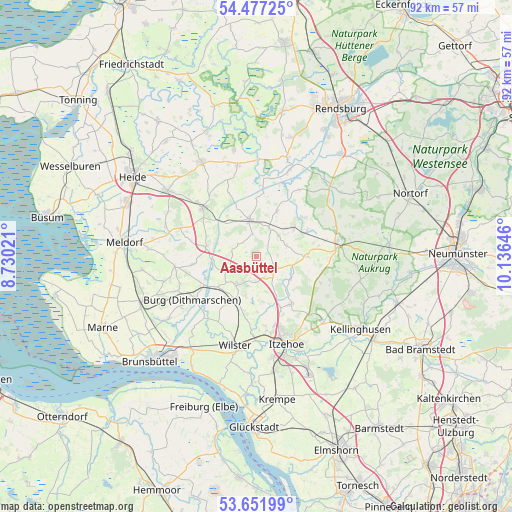
Aasbüttel GPS coordinates[2]
54° 4' 0.012" North, 9° 25' 59.988" East
| Map corner | latitude | longitude |
|---|---|---|
| Upper-left | 54.47725°, | 8.73021° |
| Center: | 54.06667°, | 9.43333° |
| Lower-right: | 53.65199°, | 10.13646° |
| Map W x H: | 91.8×91.8 km | = 57×57mi |
| max Lat: | 55.01917° ⇑6.6% North |
| Aasbüttel: | 54.06667° |
| min Lat: | ⇓93.4% South 47.40724° |
| min Long | Aasbüttel | max Long |
| 5.92978° | 9.43333° | 14.98853° |
| W 41.2%⇐ | ⇒58.8% E |
Elevation
Elevation of Aasbüttel is 42 m = 138 ft, and this is 207.1 m = 679 ft below average elevation for this country.
| Max E: |
1256 m = 4121 ft | 82% |
| Avg. | 249.1 m = 817 ft | |
| Aasbüttel | 42 m = 138 ft | |
Min E: |
-5 m = -16 ft | 18% |
See also: Germany elevation on elevation.city.
Geographical zone
Aasbüttel is located in North temperate zone (between Tropic of Cancer and the Arctic Circle). Distance of this North polar circle is 1389.5 km =863.4 mi to North.| Distance of | km | miles | from Aasbüttel |
|---|---|---|---|
| North Pole | 3995.4 | 2482.6 | to North |
| Arctic Circle | 1389.5 | 863.4 | to North |
| Tropic Cancer | 3405.7 | 2116.2 | to South |
| Equator | 6011.7 | 3735.5 | to South |


Nearby cities:
15 places around Aasbüttel: (largest is in red/bold)
• Agethorst
5.3 km =3.3 mi,  178°
178°
• Bendorf
3.8 km =2.4 mi,  299°
299°
• Besdorf
5.1 km =3.2 mi,  248°
248°
• Bokelrehm
4.4 km =2.7 mi,  224°
224°
• Bokhorst
2.2 km =1.4 mi,  270°
270°
• Gokels
6 km =3.7 mi,  21°
21°
• Hadenfeld
3.9 km =2.4 mi,  157°
157°
• Nienbüttel
4.3 km =2.7 mi,  196°
196°
• Oldenborstel
5.4 km =3.4 mi,  90°
90°
• Puls
5.7 km =3.5 mi,  71°
71°
• Pöschendorf
4.9 km =3 mi,  132°
132°
• Schenefeld
3.8 km =2.4 mi,  119°
119°
• Seefeld
5.4 km =3.4 mi,  46°
46°
• Thaden
3.9 km =2.4 mi,  352°
352°
• Warringholz
2.9 km =1.8 mi, 49°
Sources, notices
• [Note1] Compared only with cities in Germany existing in our database
• [Src1] Map data: © OpenStreetMap contributors (CC-BY-SA)
• [Src2] Other city data from geonames.org with taken over terms of usage.
• [Src3] Geographical zone / Annual Mean Temperature by Robert A. Rohde @ Wikipedia
