Strøby Egede geodata
Strøby Egede (Zealand) is a populated place; located in Denmark in Europe/Copenhagen (GMT+2) time zone. With population of 2,700 people, there are 235 cities with bigger population in this country. Compared to other cities in Denmark, 75.4% of cities are located further ↑North; 84.5% of cities are located further ←West and 89.8% of cities have higher elevation than Strøby Egede. Note1


Strøby Egede GPS coordinates[2]
55° 24' 49.752" North, 12° 14' 42.072" East
| Map corner | latitude | longitude |
|---|---|---|
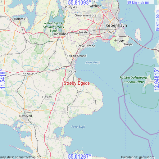
| Upper-left | 55.81093°, | 11.5419° |
| Center: | 55.41382°, | 12.24502° |
| Lower-right: | 55.01267°, | 12.94815° |
| Map W x H: | 88.8×88.8 km | = 55.2×55.2mi |
| max Lat: | 57.72093° ⇑75.4% North |
| Strøby Egede: | 55.41382° |
| min Lat: | ⇓24.6% South 54.57644° |
| min Long | Strøby Egede | max Long |
| 8.12605° | 12.24502° | 15.18662° |
| W 84.5%⇐ | ⇒15.5% E |
Elevation
Elevation of Strøby Egede is 5 m = 16 ft, and this is 22.3 m = 73 ft below average elevation for this country.
| Max E: |
114 m = 374 ft | 89.8% |
| Avg. | 27.3 m = 90 ft | |
| Strøby Egede | 5 m = 16 ft | |
Min E: |
0 m = 0 ft | 10.2% |
See also: Denmark elevation on elevation.city.
Geographical zone
Strøby Egede is located in North temperate zone (between Tropic of Cancer and the Arctic Circle). Distance of this North polar circle is 1239.7 km =770.3 mi to North.| Distance of | km | miles | from Strøby Egede |
|---|---|---|---|
| North Pole | 3845.6 | 2389.5 | to North |
| Arctic Circle | 1239.7 | 770.3 | to North |
| Tropic Cancer | 3555.5 | 2209.3 | to South |
| Equator | 6161.4 | 3828.5 | to South |


Nearby cities:
15 places around Strøby Egede: (largest is in red/bold)
• Bjæverskov
14 km =8.7 mi,  290°
290°
• Borup
19.2 km =11.9 mi,  297°
297°
• Ejby
13 km =8.1 mi,  307°
307°
• Faxe
19.3 km =12 mi,  204°
204°
• Greve
19.2 km =11.9 mi,  10°
10°
• Haslev
20.4 km =12.7 mi,  240°
240°
• Havdrup
16.4 km =10.2 mi,  332°
332°
• Hårlev
7.2 km =4.5 mi,  185°
185°
• Køge
6.3 km =3.9 mi,  321°
321°
• Rødvig
19.6 km =12.2 mi,  154°
154°
• Solrød
14.2 km =8.8 mi,  343°
343°
• Solrød Strand
13.3 km =8.3 mi,  353°
353°
• Store Heddinge
14.7 km =9.1 mi,  141°
141°
• Tune
20.5 km =12.7 mi, 346°
• Viby
20.5 km =12.7 mi, 317°
Sources, notices
• [Note1] Compared only with cities in Denmark existing in our database
• [Src1] Map data: © OpenStreetMap contributors (CC-BY-SA)
• [Src2] Other city data from geonames.org with taken over terms of usage.
• [Src3] Geographical zone / Annual Mean Temperature by Robert A. Rohde @ Wikipedia
