Nakskov geodata
Nakskov (Zealand) is a populated place; located in Denmark in Europe/Copenhagen (GMT+2) time zone. With population of 14,081 people, there are 54 cities with bigger population in this country. Compared to other cities in Denmark, 97.4% of cities are located further ↑North; 62.3% of cities are located further ←West and 89.8% of cities have higher elevation than Nakskov. Note1


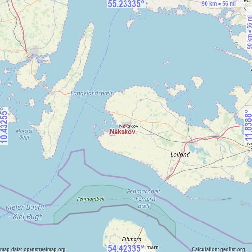
Nakskov GPS coordinates[2]
54° 49' 49.368" North, 11° 8' 8.412" East
| Map corner | latitude | longitude |
|---|---|---|
| Upper-left | 55.23335°, | 10.43255° |
| Center: | 54.83038°, | 11.13567° |
| Lower-right: | 54.42335°, | 11.8388° |
| Map W x H: | 90.1×90.1 km | = 56×56mi |
| max Lat: | 57.72093° ⇑97.4% North |
| Nakskov: | 54.83038° |
| min Lat: | ⇓2.6% South 54.57644° |
| min Long | Nakskov | max Long |
| 8.12605° | 11.13567° | 15.18662° |
| W 62.3%⇐ | ⇒37.7% E |
Elevation
Elevation of Nakskov is 5 m = 16 ft, and this is 22.3 m = 73 ft below average elevation for this country.
| Max E: |
114 m = 374 ft | 89.8% |
| Avg. | 27.3 m = 90 ft | |
| Nakskov | 5 m = 16 ft | |
Min E: |
0 m = 0 ft | 10.2% |
See also: Denmark elevation on elevation.city.
Geographical zone
Nakskov is located in North temperate zone (between Tropic of Cancer and the Arctic Circle). Distance of this North polar circle is 1304.6 km =810.6 mi to North.| Distance of | km | miles | from Nakskov |
|---|---|---|---|
| North Pole | 3910.5 | 2429.9 | to North |
| Arctic Circle | 1304.6 | 810.6 | to North |
| Tropic Cancer | 3490.6 | 2169 | to South |
| Equator | 6096.6 | 3788.3 | to South |


Nearby cities:
15 places around Nakskov: (largest is in red/bold)
• Holeby
24.9 km =15.5 mi,  122°
122°
• Maribo
24.1 km =15 mi,  104°
104°
• Marstal
39.7 km =24.7 mi,  274°
274°
• Nykøbing Falster
47.8 km =29.7 mi, 98°
• Nørre Alslev
48.5 km =30.1 mi,  81°
81°
• Rudkøbing
29.7 km =18.5 mi,  293°
293°
• Rødby
22.1 km =13.7 mi,  132°
132°
• Rødbyhavn
23.7 km =14.7 mi,  143°
143°
• Sakskøbing
31.6 km =19.6 mi, 96°
• Skælskør
47.8 km =29.7 mi,  12°
12°
• Sundby
46.3 km =28.8 mi, 98°
• Svendborg
42.3 km =26.3 mi,  307°
307°
• Thurø By
38.6 km =24 mi, 308°
• Vindeby
41 km =25.5 mi, 305°
• Ærøskøbing
46.8 km =29.1 mi,  277°
277°
Sources, notices
• [Note1] Compared only with cities in Denmark existing in our database
• [Src1] Map data: © OpenStreetMap contributors (CC-BY-SA)
• [Src2] Other city data from geonames.org with taken over terms of usage.
• [Src3] Geographical zone / Annual Mean Temperature by Robert A. Rohde @ Wikipedia
